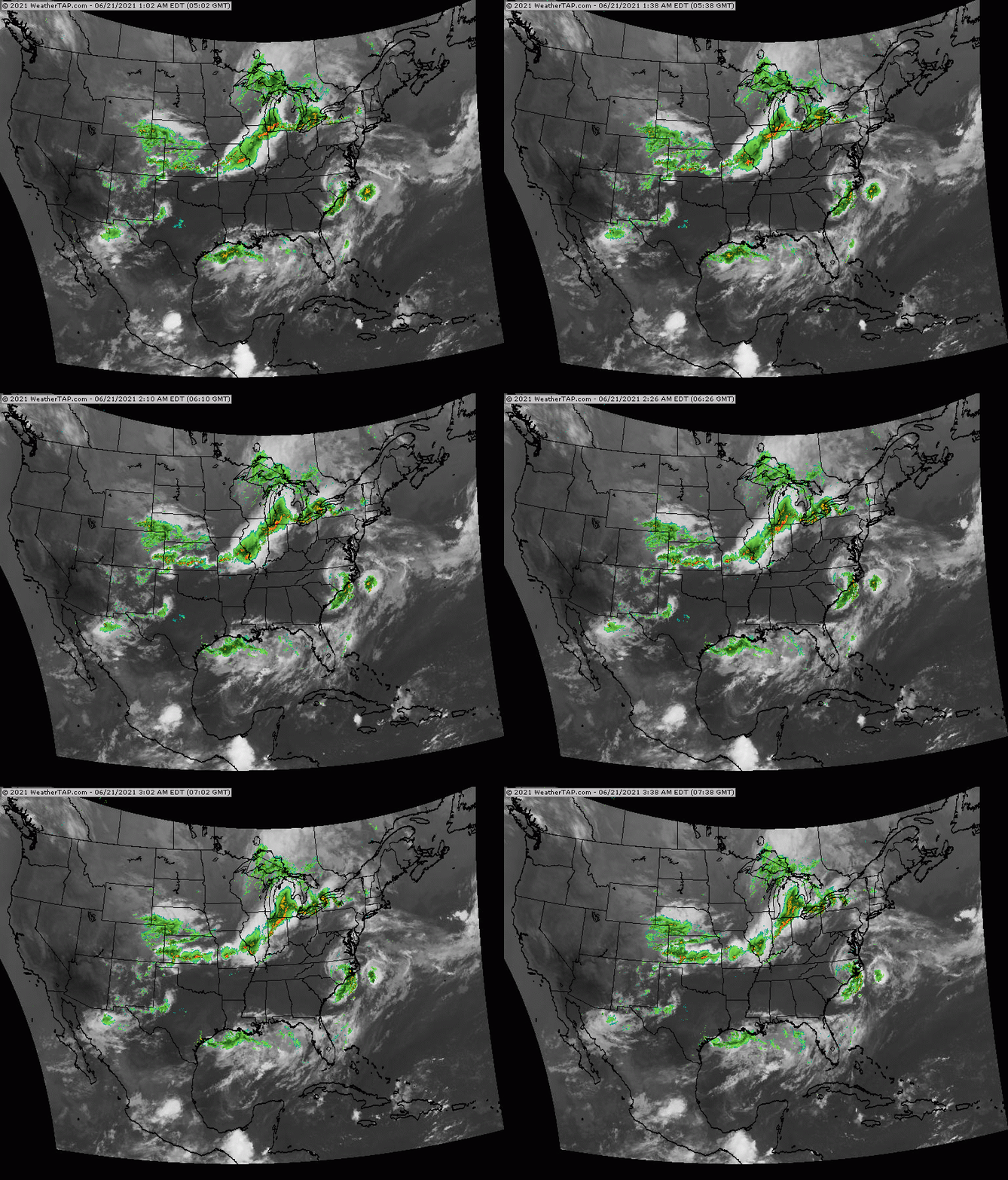
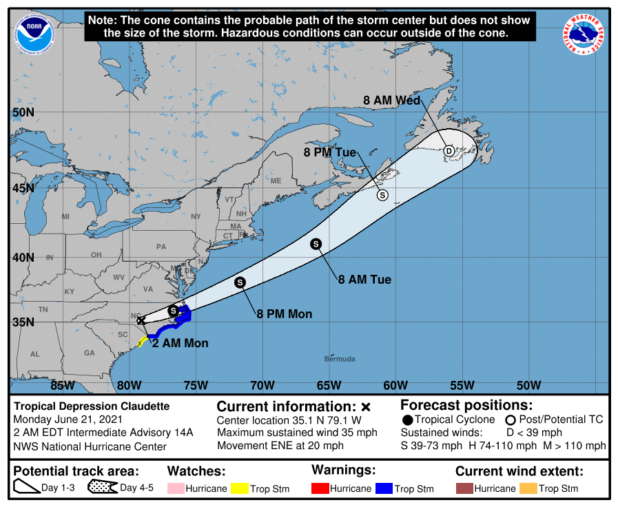
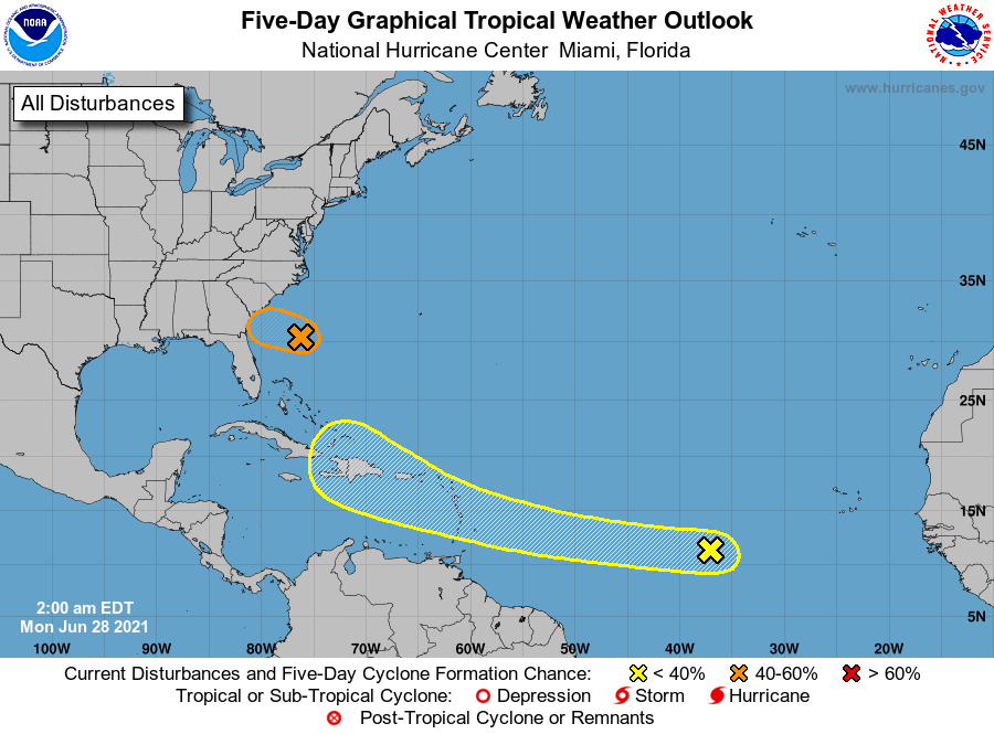
Above - radar + satellite shows Claudette over N. Carolina moving offshore. A squall line over the Great Lakes will move into the Northeast later today and tonight. Record breaking heat will again take over the far West. Below - track of Claudette ...and Atlantic analysis which shows another system in S. Central Atlantic that could intensify in the coming week.
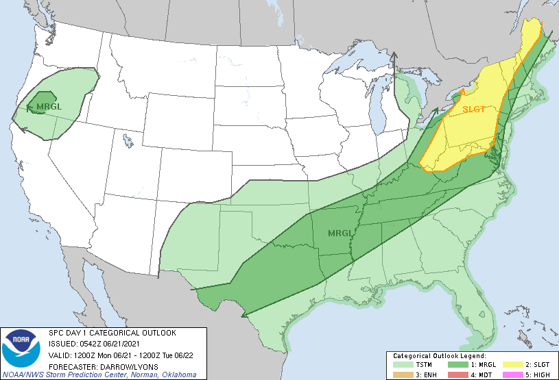
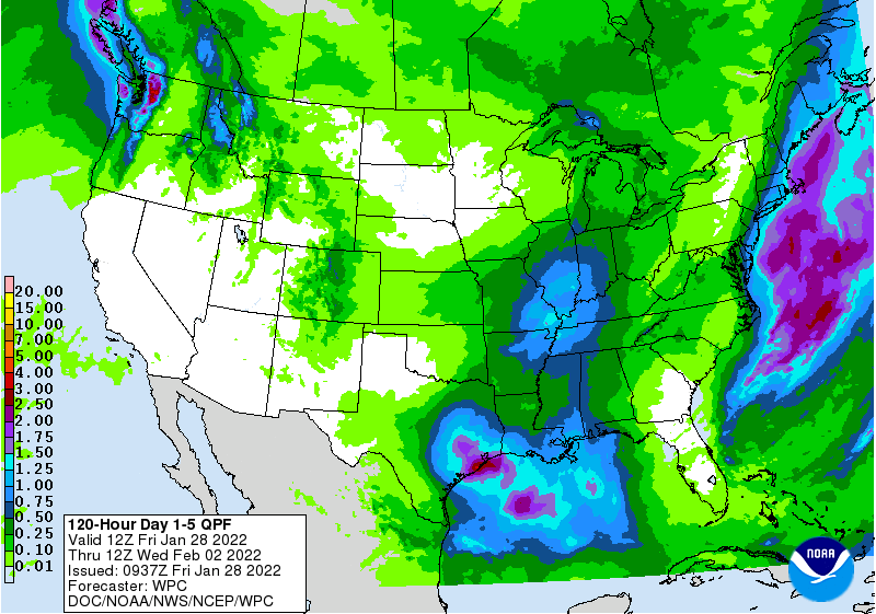
Below - threat of severe weather today.......animated maps.....rainfall into Saturday.
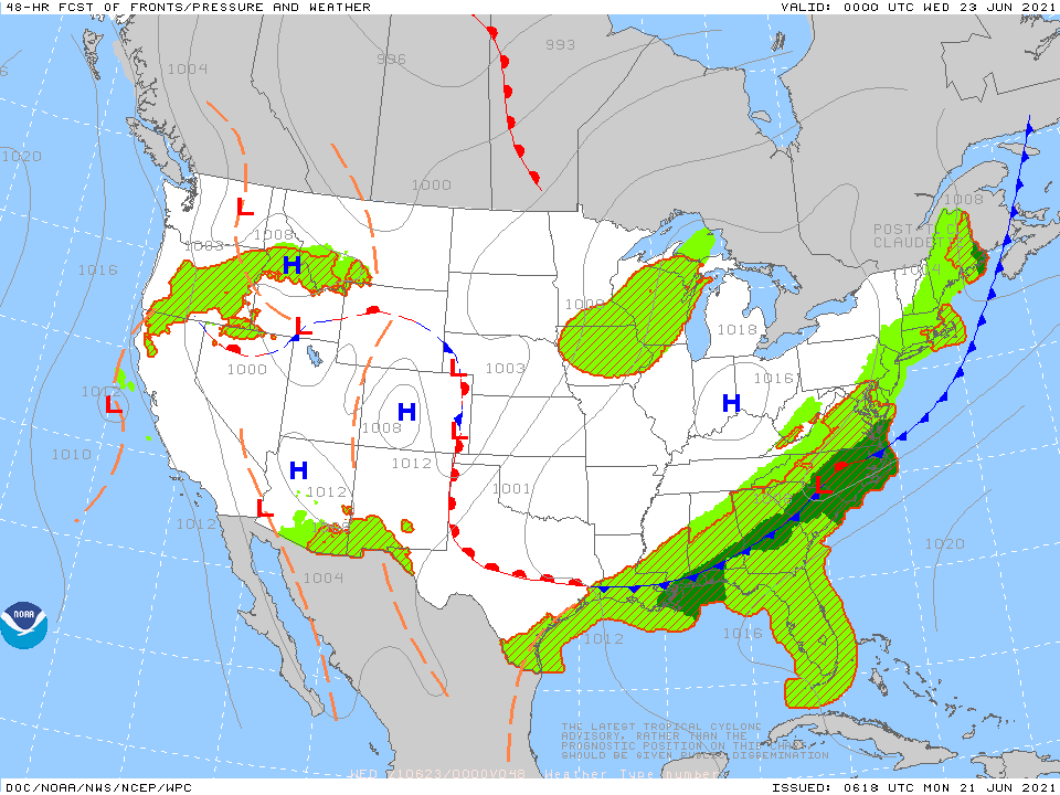
Below- snapshot weather for Tuesday. Be safe !

 RSS Feed
