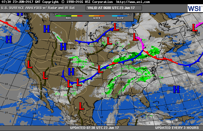
Satellite-radar shows storms with a front from Great Lakes to Midwest..and left over rain from Cindy Mid Atlantic to Gulf.
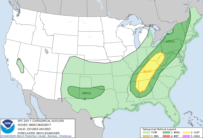
Above - current weather map.....below - risk of severe weather in dark green and yellow...followed by rain threat from Cindy.
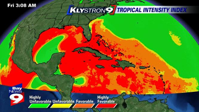
Below - hurricane hazard map - depicting best areas for hurricanes now.
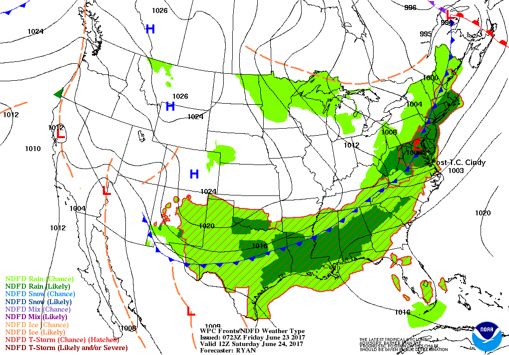
Below - weather map for Saturday....so you can plan your outdoor activities accordingly.
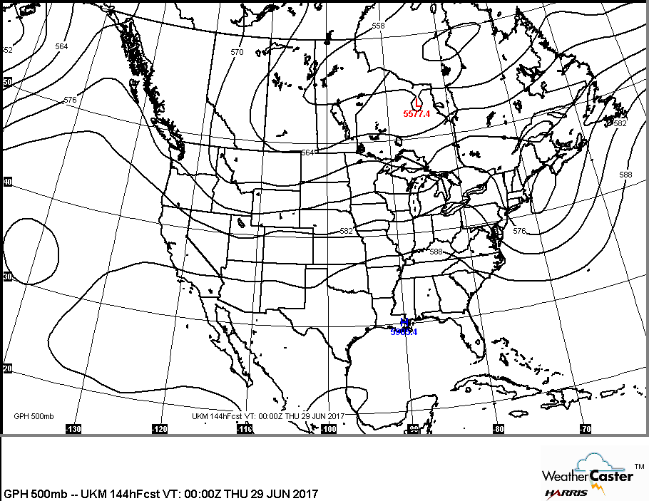
Map below shows upper air for next week. Jet stream flattens out...allowing for heat to stay in south....and seasonable weather most elsewhere. Have a safe weekend.


 RSS Feed
