
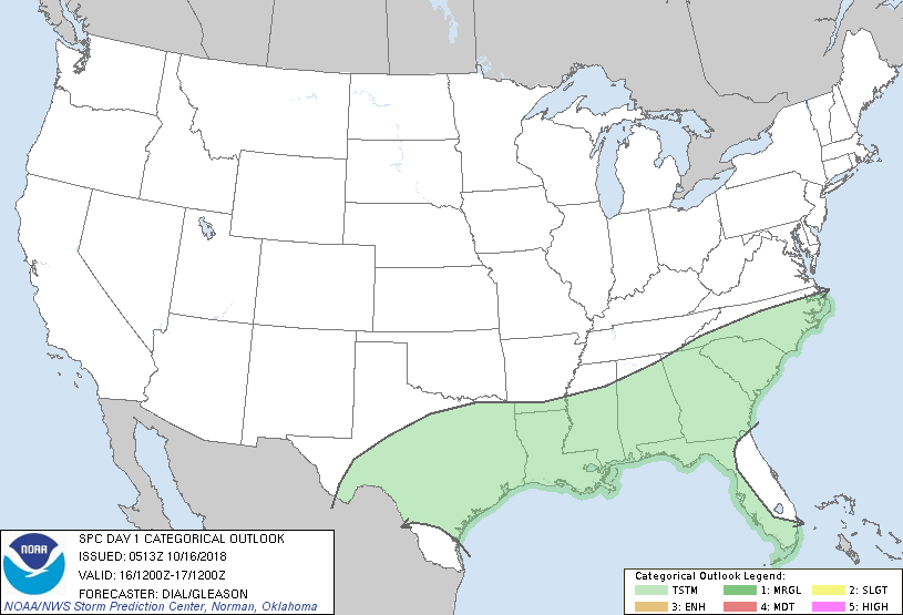
Satellite and radar above show 1 cold front moving off the Mid Atlantic coast. This front will head south and keep unsettled weather alive over the So. third of Nation. ANother cold front headed down the Northern Plains will arrive in Northeast Thursday...and that should be the coldest of the season thus far. Below - today's risk of severe weather in green.
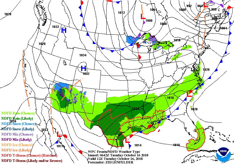
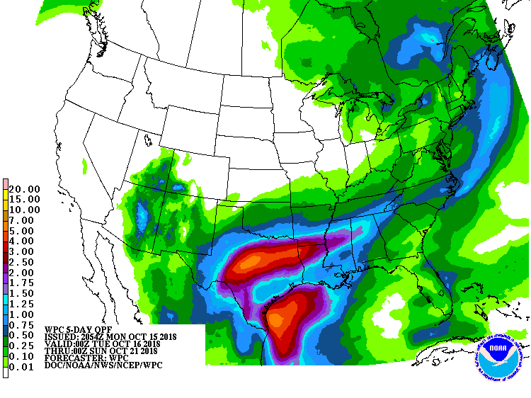
Below- animated maps for the next 2 days followed by rainfall for the next 7 days.....indicating most of which will be over the southland.
Lastly - high temperatures expected for Wednesday. Be safe.


 RSS Feed
