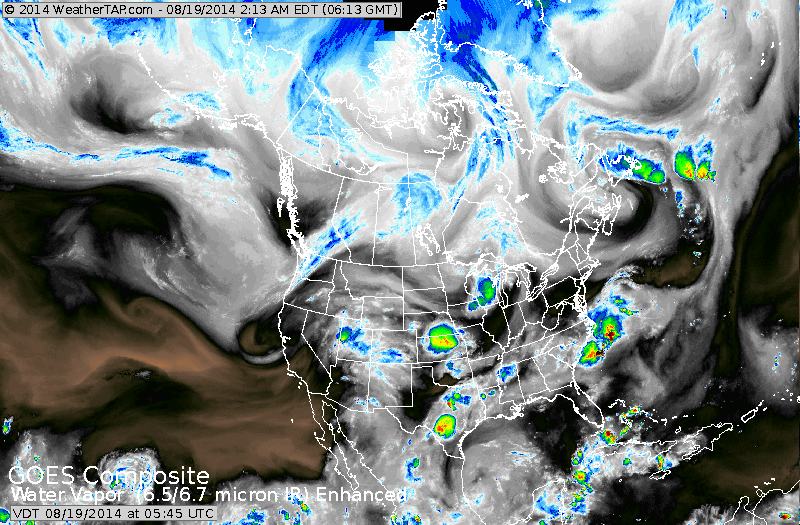
Satellite above shows a couple of areas of wet weather:
off The Carolinas, The Plains....Rockies. South Florida also getting showers.
off The Carolinas, The Plains....Rockies. South Florida also getting showers.
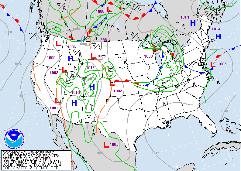
Map for today shows showers and storms to be concentrated over Gt.Lakes and Ohio Valley...and Rockies. This system in Great Lakes may bring clouds to Northeast...but it's wet weather may stay west and south and only plague The Carolinas.
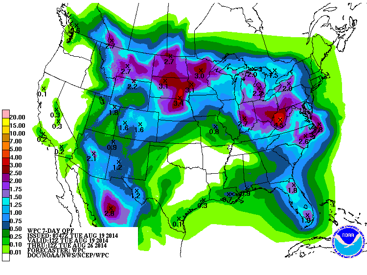
Chart above shows total rainfall expected over the next 7 days. Heaviest rains light blue to purple.

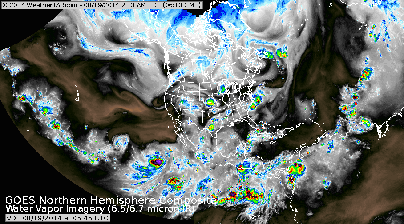
Above - tropical Atlantic analysis. This map shows all of the easterly waves coming across The Atlantic...denoted by dashed lines...and if you look closely you can see them labeled wave. Below...Satellite of N. America...clearly shows
the zone of tropical activity from Africa to Pacific...so things are beginning to heat up. Meanwhile...be safe.
the zone of tropical activity from Africa to Pacific...so things are beginning to heat up. Meanwhile...be safe.

 RSS Feed
