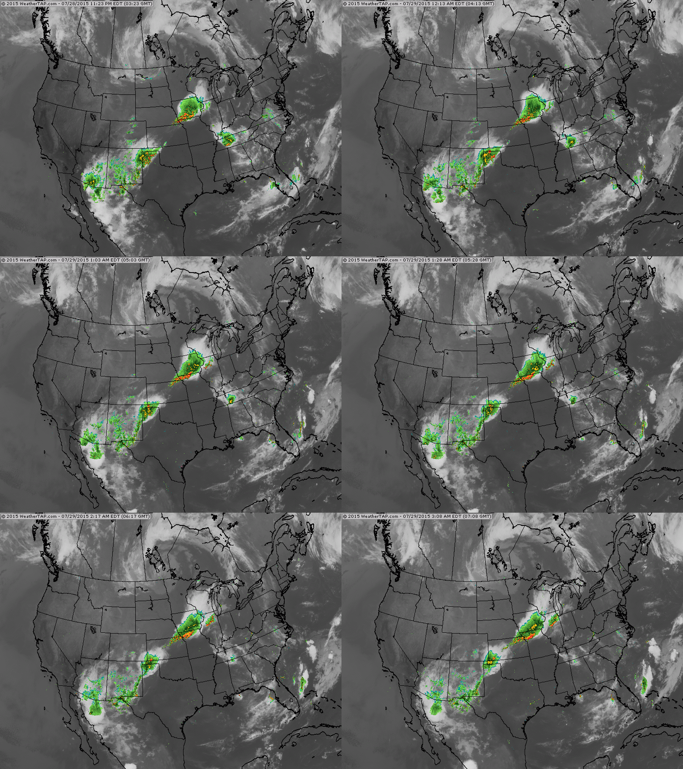
Satellite/radar shows a strong storm in Winnipeq Canada...which continues to bring gusty winds to the Northern Border states.. Cold front with that storm causing thunderstorms in Midwest down to Texas.
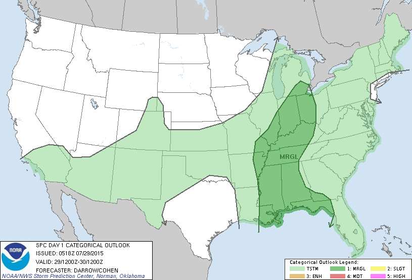
Today's severe risk in dark green and only marginal at that.
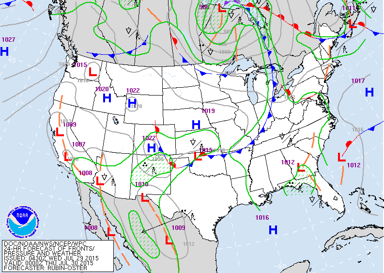
Today's map shows cold front moving thru Midwest in into Ohio Valley with storms. Heat and humidity for the East.
Notice the swirl near Puerto Rico. This is an upper low with not much rain or convection around it but certainly a defined circulation. It's in a dry atmosphere but we will continue to watch it for any signs of development. Be safe.


 RSS Feed
