
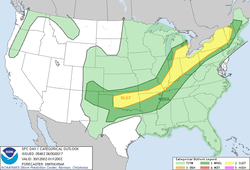
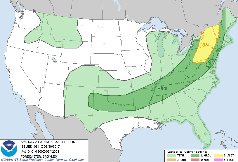
A wavy front extends from New England to Southern Plains. Eastern part of front drops down to Mid Atlantic...allowing for improving weather in Northeast Monday-Tuesday.....while western end of the front continues to cause storms into the 4th. Below...find severe risk for today & Saturday.
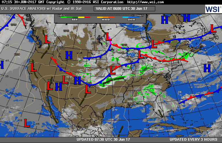
Below...today's weather map. Following....GFS Model for each evening to July 4th.
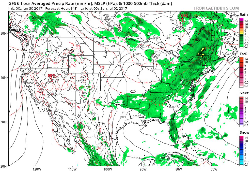
Above - Saturday evening. Green shows moisture - indicating showers and thunderstorms. Find your area...and read it and weep or smile.
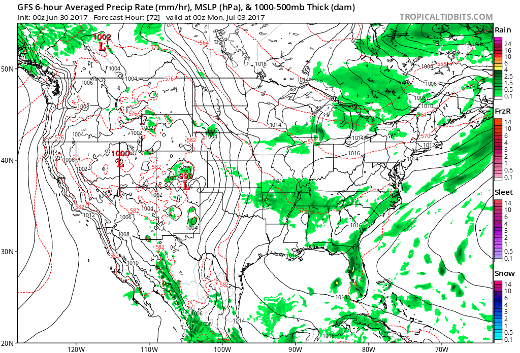
Above - Sunday evening.
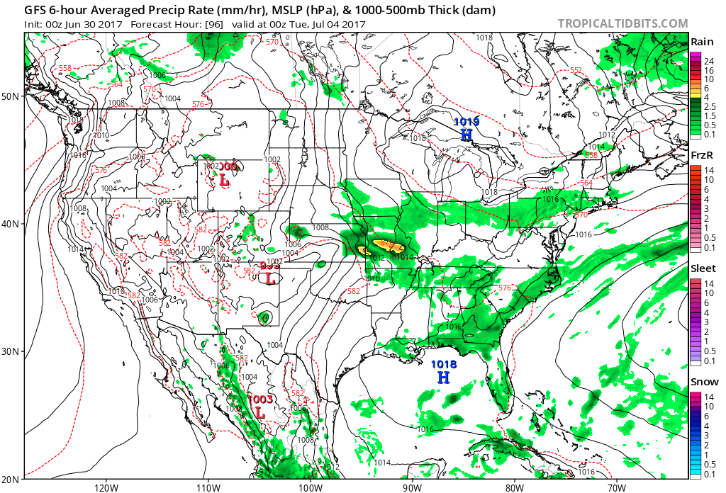
Above - Monday evening
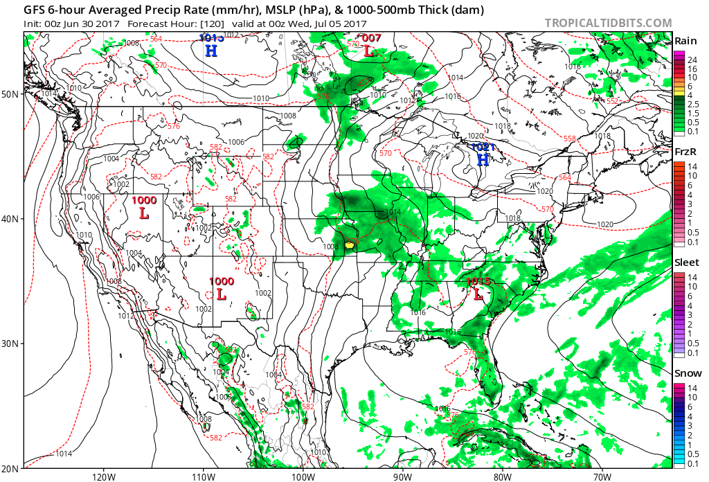
Above - Tuesday evening - the 4th. Be safe and have a nice holiday weekend.

 RSS Feed
