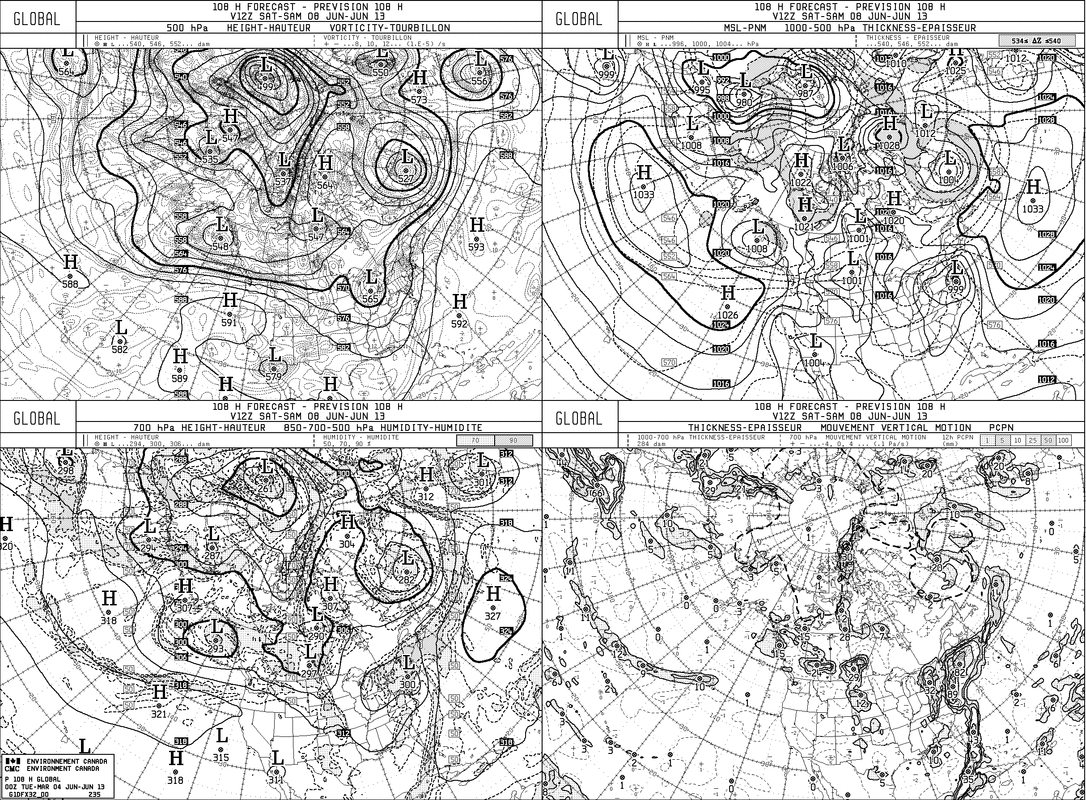
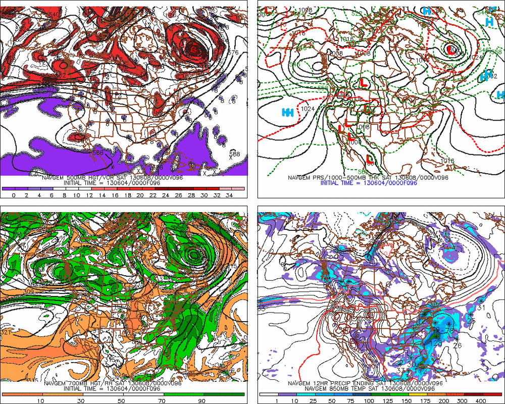
The ever persistent Canadian continues to bring the tropical like system in the Gulf right up the coast to off NJ/LI by Saturday a.m. While most of the models are in the same camp...they are slower. The GFS loses the definition due to the interaction of the approaching 500 trof.
Above, The Canadian Esembles.....clearly showing the emphasis of the tropical low off mid atlantic....and approaching trof from Ohio Valley.
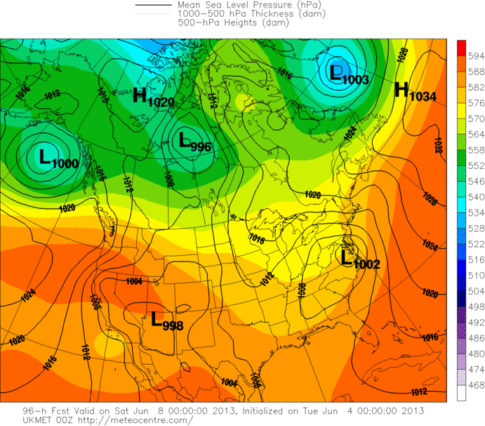
Above, UKMET.....next to Canadian in intensity...but slower...but right in the same camp..
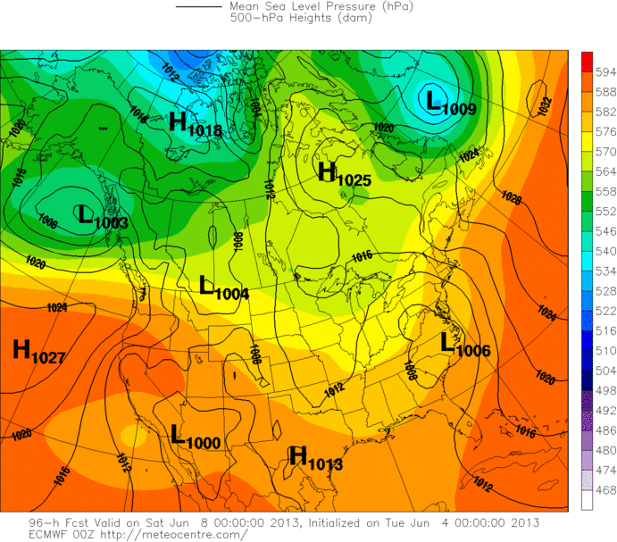
Here's the Euro...same time period....slower and not as intense....but that has been changing with the model....look for it to join Canadian tomorrow.
Above...NOGAPS....not a big fan of this model...and although it shows the system off Mid Atlantic....it takes a more general smoothe out approach.
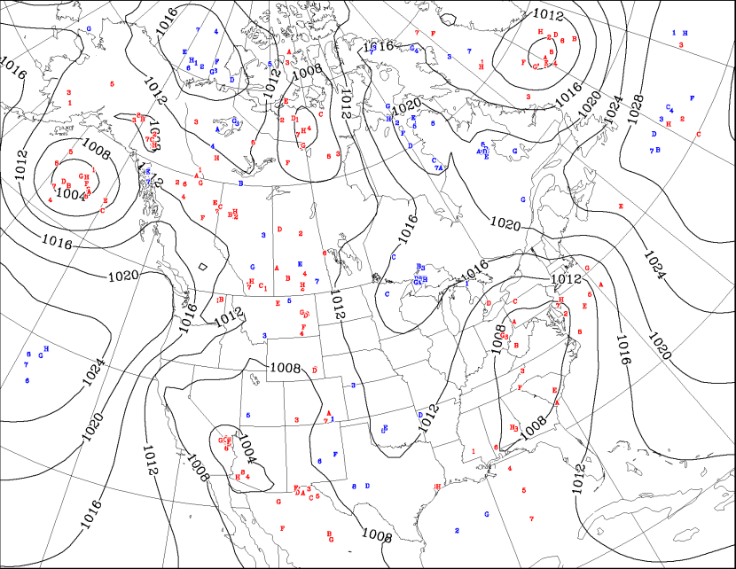
IR Sat pix shows enhancement....so Hurricane Center has raised it's probability.
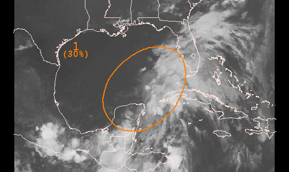
Above...area we have been watching from last week....30% chance of development. Even if it does not develop.....some heavy rain is likely up the coast Fri- into Saturday....generally 1"-3". Think the heaviest rain will move north of area Saturday afternoon.
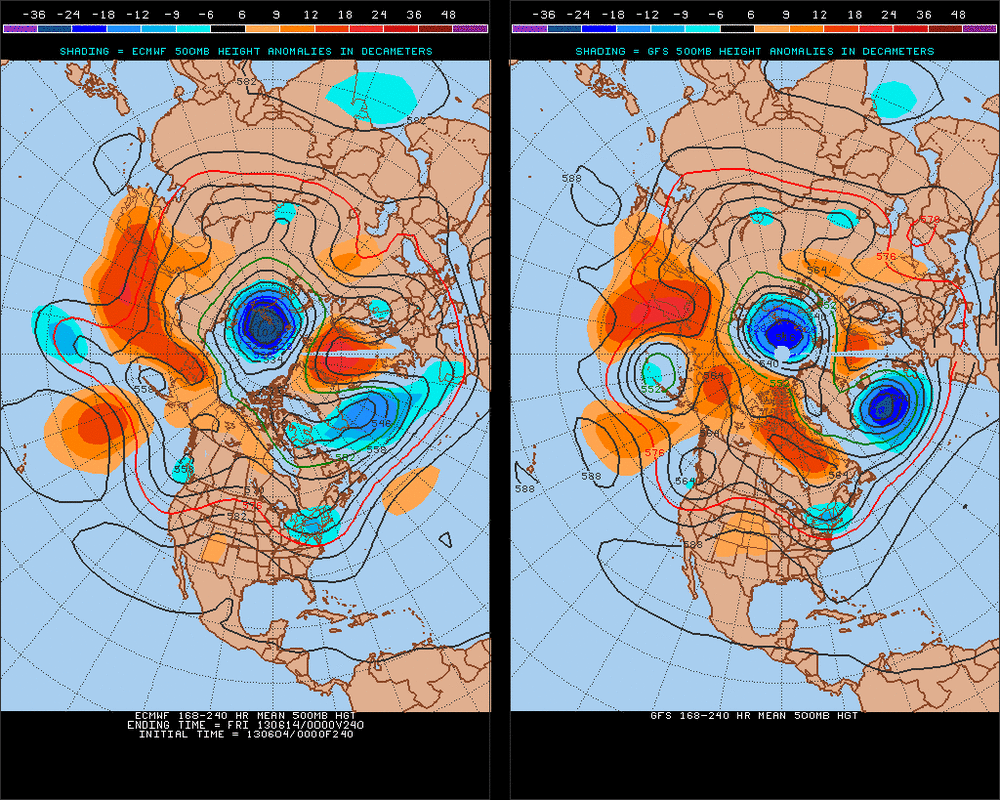
Last but not least....for all you summer die hard fans....The Euro above would not be advertising heat for the Northeast.....head for the Plains. Later.

 RSS Feed
