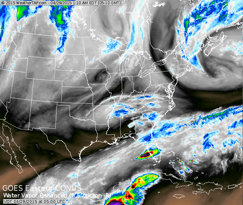
Satellite shows old storm in No. Atlantic still circulating moisture over Eastern New England. Heavy rains moving out across Florida. Some showers in Great Lakes.
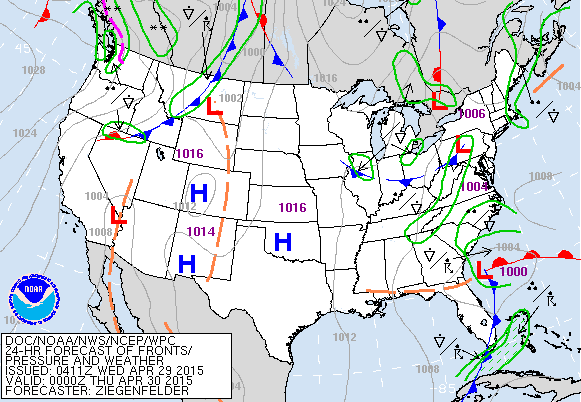
Map above is valid for this evening. Storm moving off SE Coast bringing drier weather to Florida. Weak lows moving out of Great Lakes will bring a few showers to Northeast and Mid Atlantic for late week. Showers in Pacific Northwest will move east....otherwise no major systems on tap for the nation into the weekend.
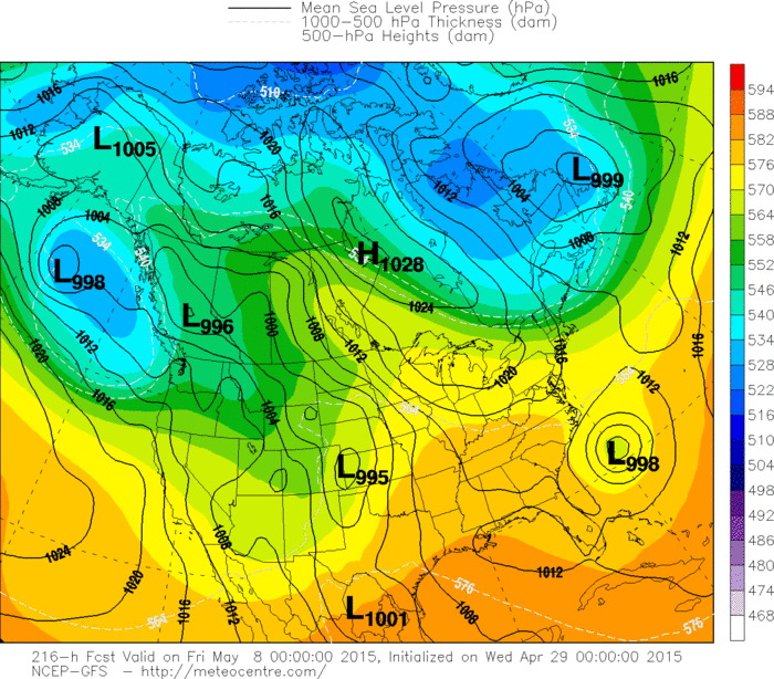
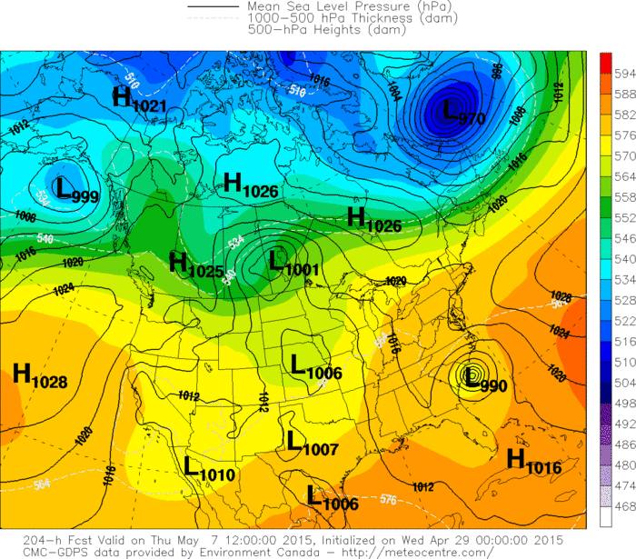
This is the GFS Model for next Wednesday. Notice the low off The Carolinas ! This is tropical in nature and this model has been showing this for quite some time. It will be May...and sometimes this does happen....but it would be early. Water temps in that area are running some 6 degrees above normal.
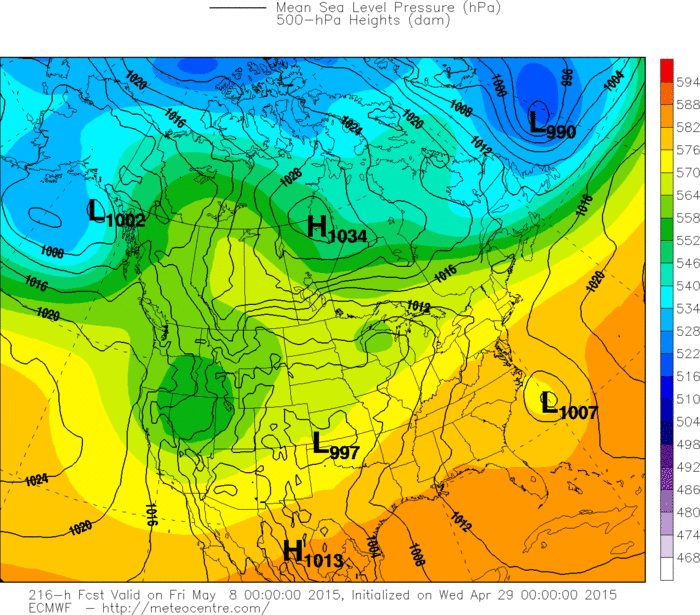
This is the Euro model for same period. It too shows this tropical low.

 RSS Feed
