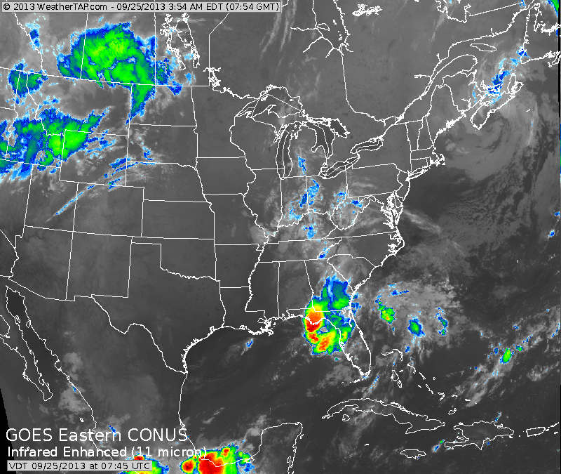
This infra-red satellite picture shows the quiet over much of Our Nation.
Thunderstorms in Florida.....showers and even some high elevation snow in the Northern Rockies.....elsewhere fair. Notice the lighter shade of white over Nova Scotia....that is the storm that is just sitting and blocking weather systems from west to east.
Thunderstorms in Florida.....showers and even some high elevation snow in the Northern Rockies.....elsewhere fair. Notice the lighter shade of white over Nova Scotia....that is the storm that is just sitting and blocking weather systems from west to east.
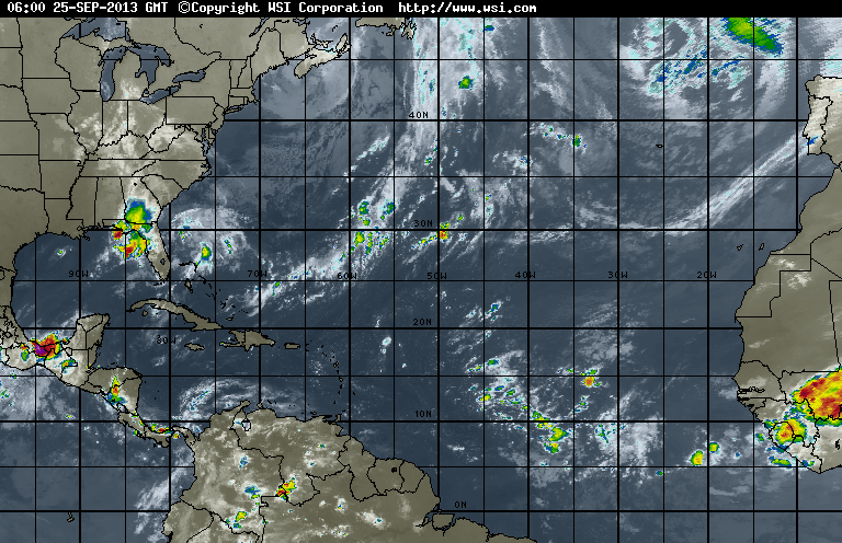
Tropical satellite shows nothing to be worried about. Cluster of convection is ready to come off coast of Africa....which deserves watching...but so far all season...they have turned out little if any problem.
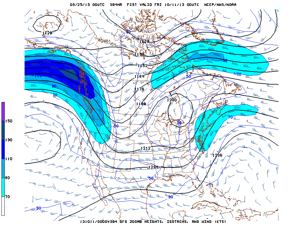
Get your sights right...The Great Lakes have a big circle over them.
The shaded colors represent the strongest winds at 18,000 ft....or the jet stream. The time if valid for October 10th. We find a deep trof over
the Rockies....that's the area getting rain/snow. The big circle over the Gt.Lks. represents another trof or closed low...with the jet along the
Mid Atlantic and Northeast coast....indicating..precipitation. Overall..a cool pattern over much of the U.S. Until tomorrow...enjoy, be safe.


 RSS Feed
