Satellite clearly shows the jet stream: starts out along West Coast and goes up into Canada...then comes down across The Great Lakes and back up over The Eastern Seaboard. This will bring cooler air to Northeast...but warm conditions in the Plains.
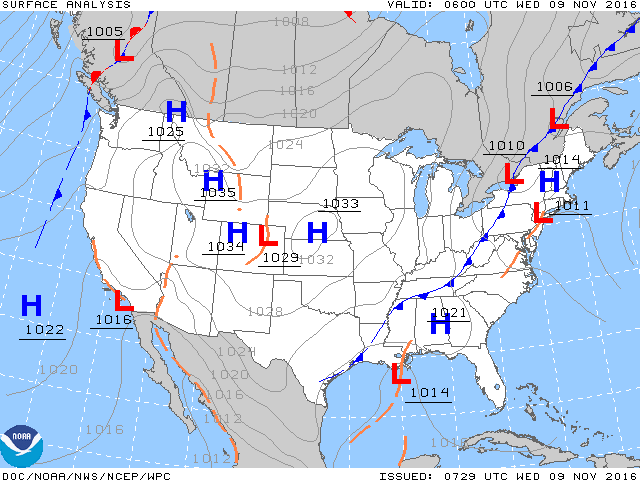
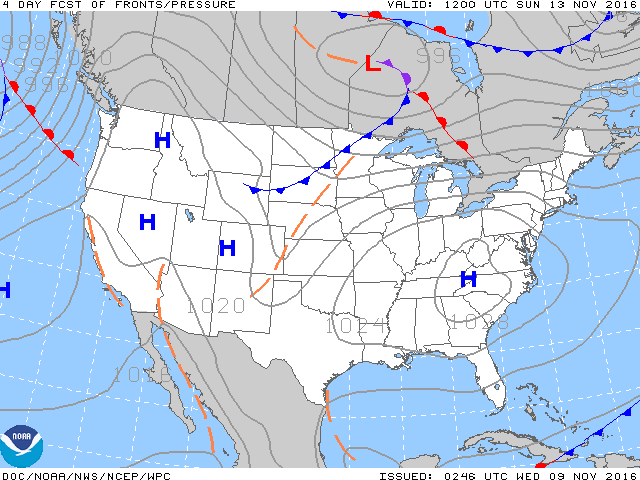
Above - Today's map showing cold front moving toward East Coast with showers. High pressure cover the rest of the Nation...and map below...shows how that High dominates by this Sunday.
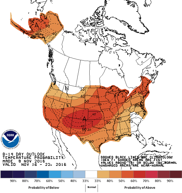
Below....chart showing how temperatures will average during mid November. Take a wild guess. Be safe.


 RSS Feed
