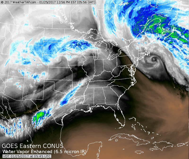
Look at the satellite and notice the doughnut off Cape Cod...the former nor'easter....on it's way to Nova Scotia. Last California storm in Midwest - headed east very quickly.
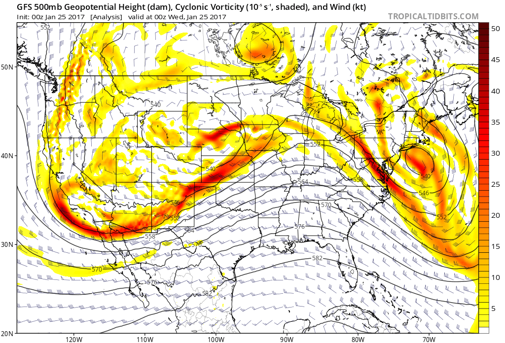
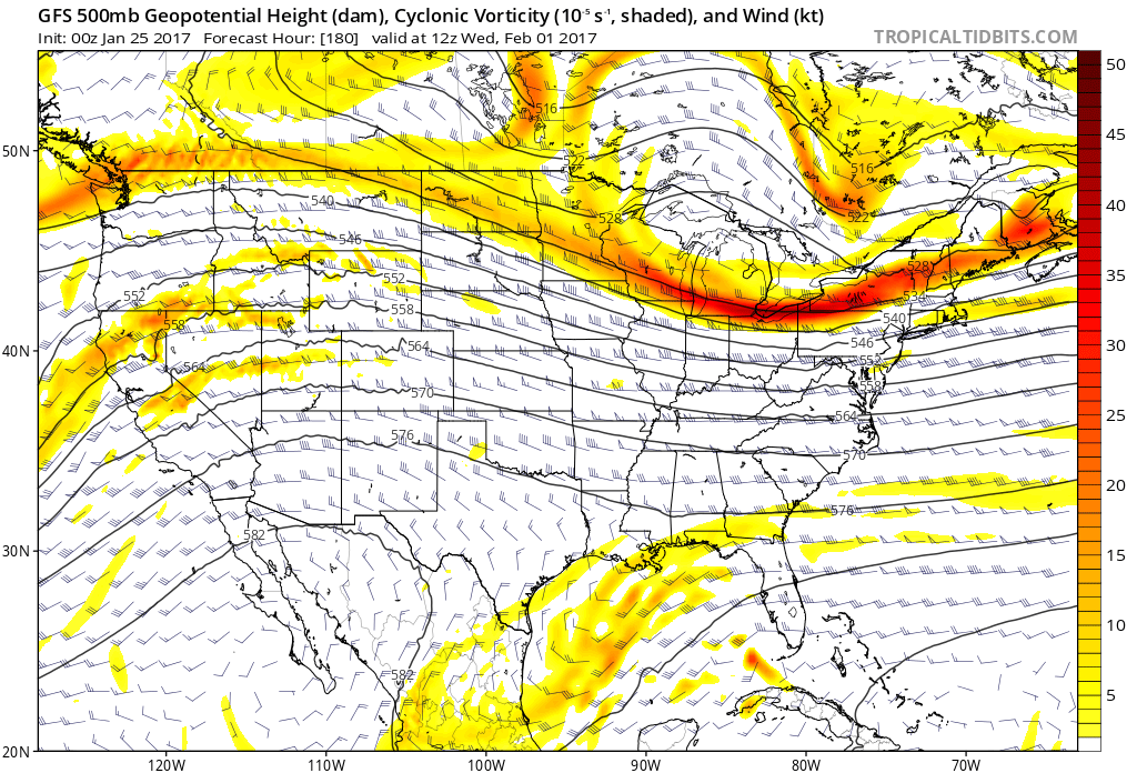
Current upper air jet stream showing noticeable trofs and ridges...thus the reason for the stormy weather. Below...projected flow for Feb. 1st. Such a flow would indicate quiet.....but for how long ?
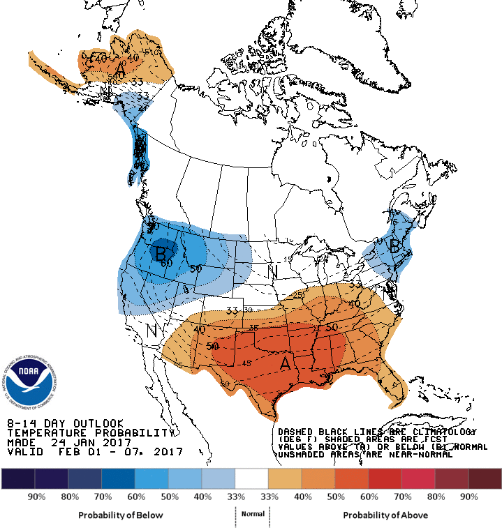
Expected temperature trend through Feb. 7th. Not bad for early February. Be safe.

 RSS Feed
