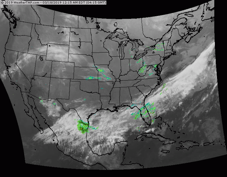
Stalled front shows rain from Texas to Florida....that is where most of the moisture will be this week. SOme rain and snowshowers for MidAtlantic today. Cold for northern areas....otherwise quiet. Below - expected snow and rain right through Friday.
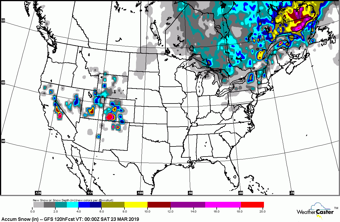
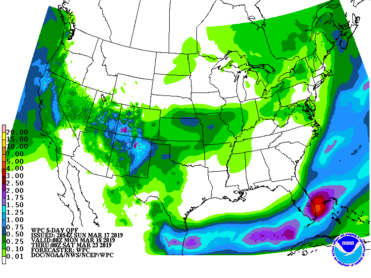
Below - animated maps for the next couple.
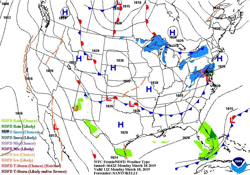
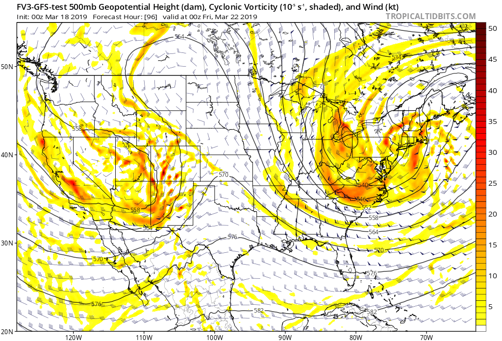
A little concerned about an upper air trof over Northeast this Friday. Most models seem to think that any storm associated with this trof will be just offshore and now become big until reaching Canadian Maritimes. Even so...itr is capable of producing clouds, wind and rain and snowshowers...which would be the first set back to Spring. More on this later. Below - the new GFS model showing this trof.
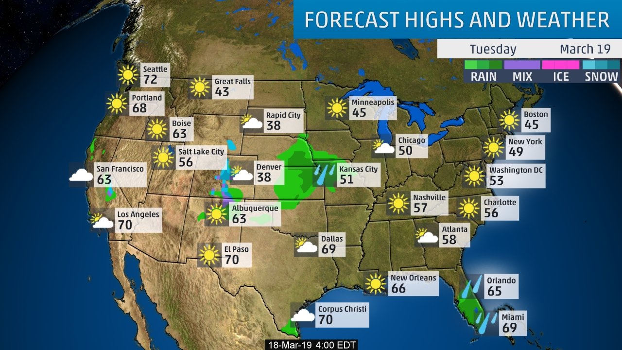
LAstly - high temperatures for Tuesday. Be safe.

 RSS Feed
