
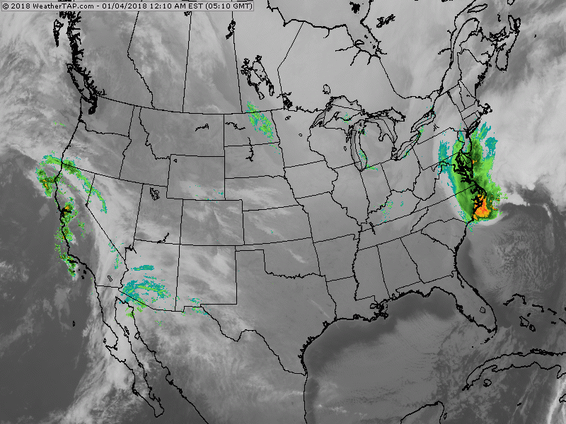
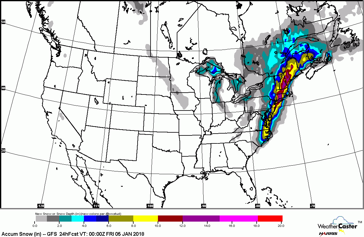
Early a.m. satellite reveals intensity of storm just east of Cape Hateras N.C. It's moving northeast as a classic nor'easter and will bring blizzard conditions from Long Island to New England with over 1 ft of snow accompanied by winds in excess of 50 mph. Below - large view of satellite and radar....followed by snowfall projections.
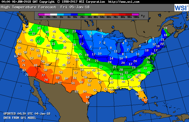
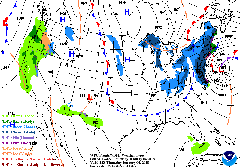
Below - animated maps showing the track of this storm into Canadian Maritimes by Friday. Following map is high temperatures for Friday..in wake of the storm. Just a good ol' fashion winter ! Be careful and safe

 RSS Feed
