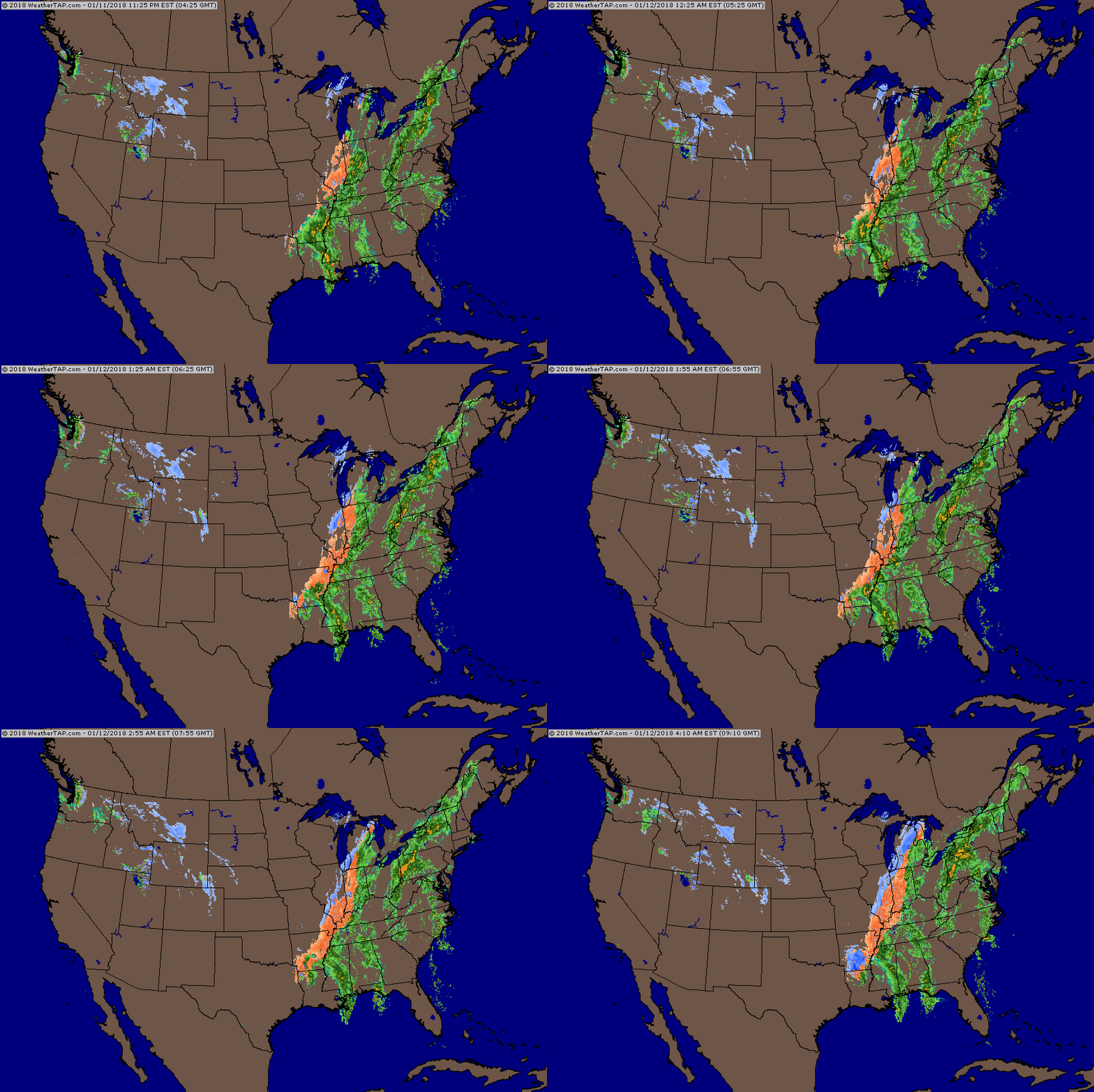
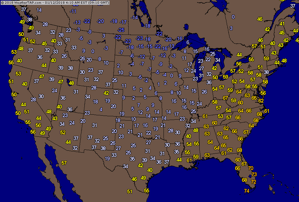
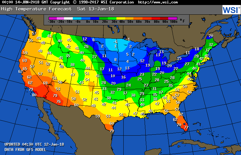
Radar shows 2 bands of precip....first all rain...some of it heavy with thunderstorms....2nd - rain changes to ice and snow. All moving across the east today into Saturday. Below - current temperatures followed by projection for highs on Saturday.
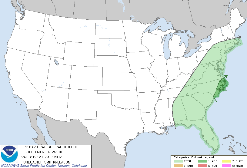
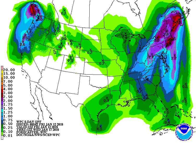
Below - green represents chance of thunderstorms today...dark green - chance of severe.....followed by projection of snowfall and rainfall for the next 5 days.
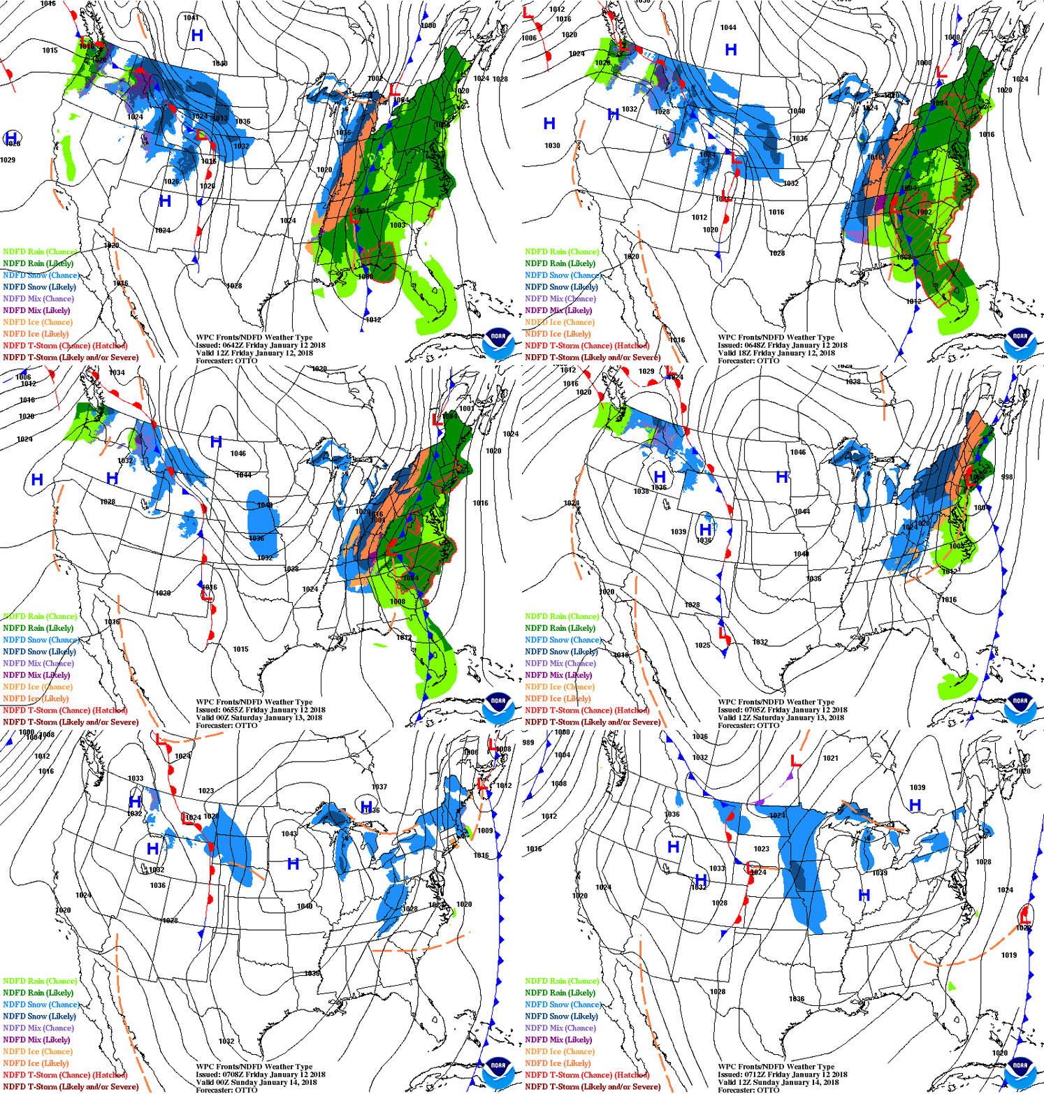
Below - animated maps for the weekend.
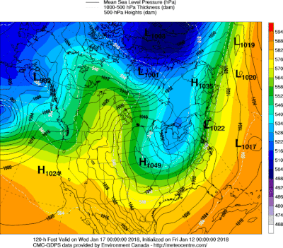
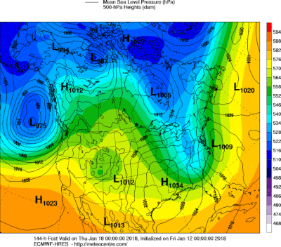
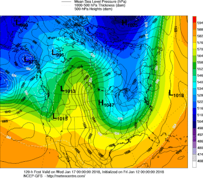
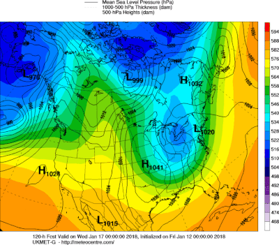
A clipper low moves to east coast Tuesday/Wednesday. Euro models thinks this could be more dynamic and places more emphasis on Wed-into Thursday than Tuesday. We shall see. Below - the various models for this system....take your pick. Be safe - have a nice weekend.

 RSS Feed
