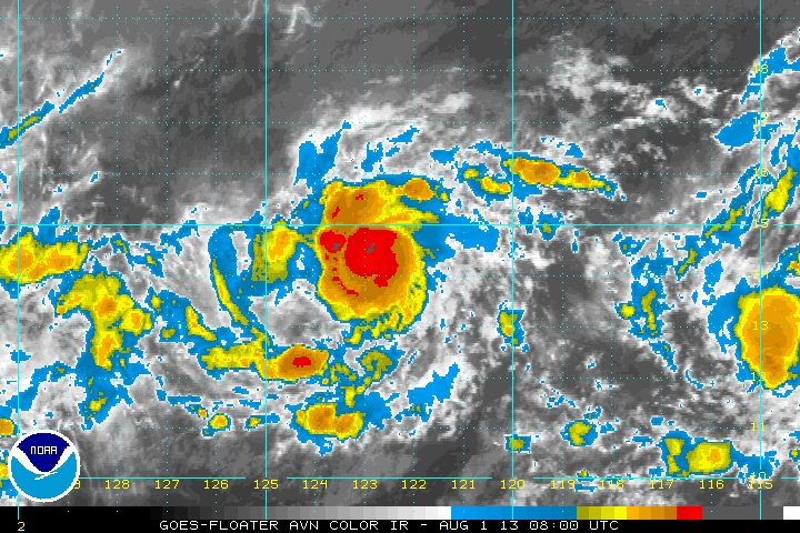
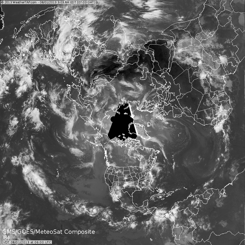
Over to the tropics first, Hurricane Gil well off the southern coast of Baja California...85 mph + winds. Will turn west and gradually weaken as it moves across cooler Pacific Waters. The following satellite picture...shows the global view. You will notice the trains of disturbances in The Pacific...and one bright spot off Africa. That could be the next system for the Atlantic....her name would be Erin.
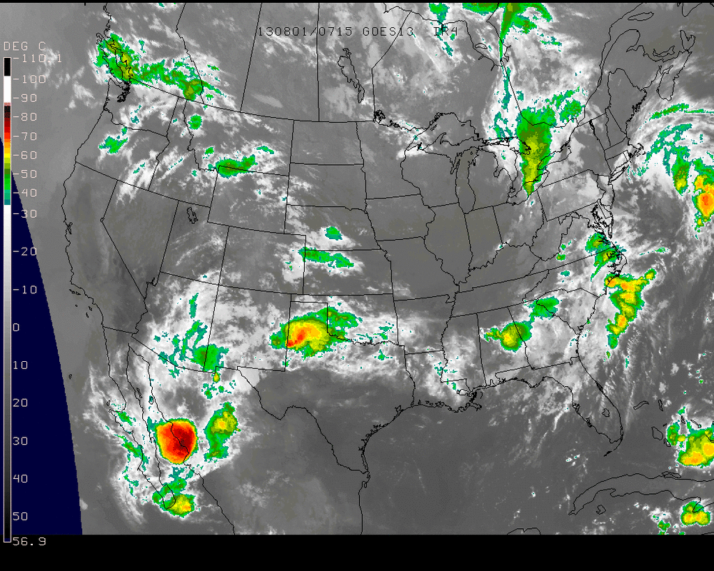
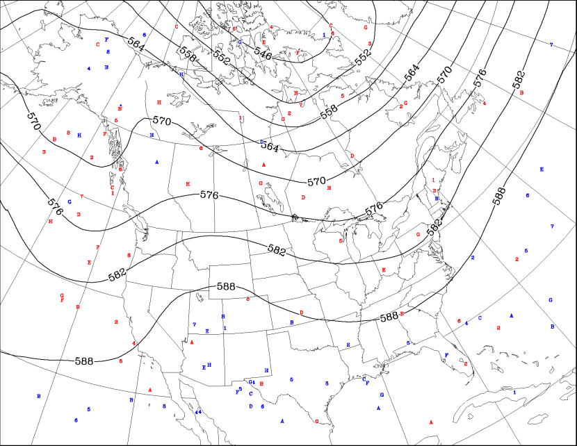
The current U.S. satellite shows the wet weather getting ready to affect The East. After that....a look at the 500 Mb - (18,000ft) Ensemble mean forecast indicates anything but heat for the East.......so August should stay cooler than normal at least for the 7-10 day period. This weekend in Northeast and Mid Atlantic will see a zone of clouds and rain this should lie from So. N.J. on south. Further north...some sun..and cooler.


 RSS Feed
