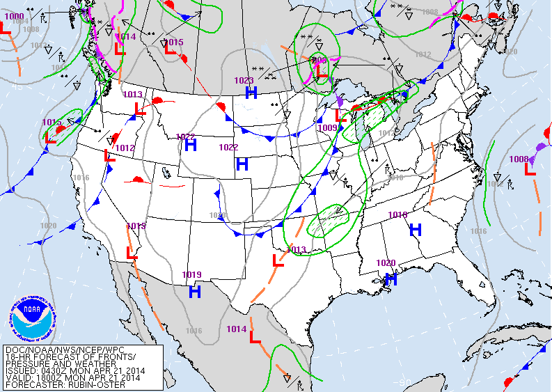
Our satellite is busy but when weather systems are in the north and close together...they are not very wet. A large storm in Atlantic was responsible for the dry but cool weather for The East this Easter Sunday. Large area of blue in center of Nation is the next front producing showers...moving to East Coast Tuesday. Systemalong west coast will reach The East Coast Friday/Saturday. Ahead of each system...it gets milder...behind each system it gets cooler.
Above...again looks busy but not much on the ground. Showers mid section of The Nation...and Pacific Northwest.
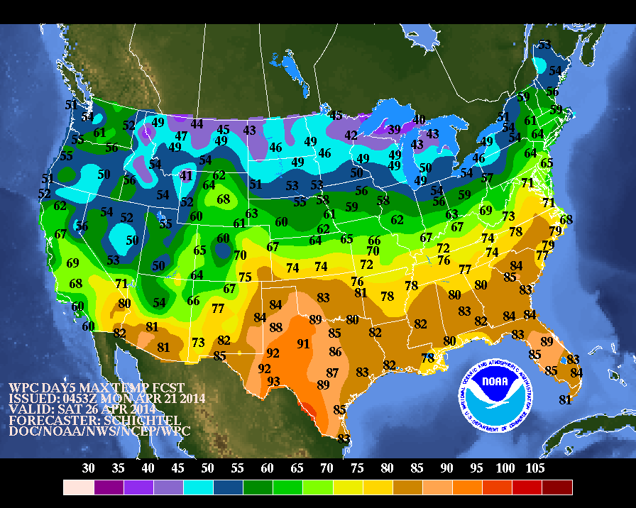
Above....warmest day this week will likely be Saturday.....as projected by above map.
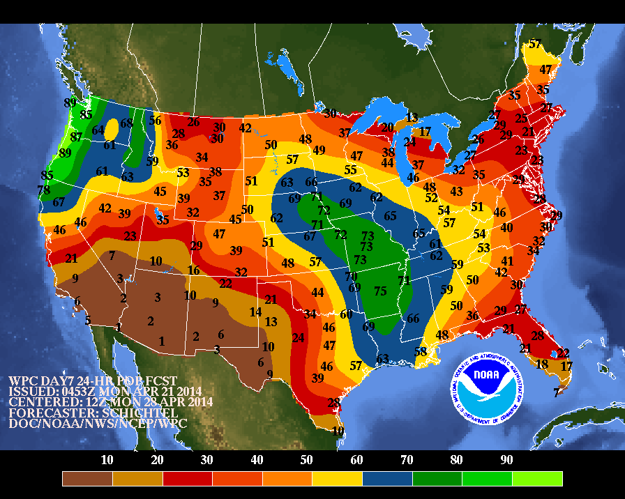
The most widespread precipitation event looks like very late next Sunday or Monday. Above...Probabilities of precip....with Yellow..blue and green indicating the best chances. Be safe...later.


 RSS Feed
