HAPPY PRESIDENT'S DAY ...AND IF YOU ARE OFF...ENJOY IT. SATELLITE SHOWS FAIR SKIES IN THE EAST. SNOW IN MIDWEST WILL DROP 3"-6" IN PLACES LIKE CHICAGO UP TO DETROIT...THEN MARCH EAST TO NORTHEAST TUESDAY. NEW ENGLAND WILL SEE 2"-4"...
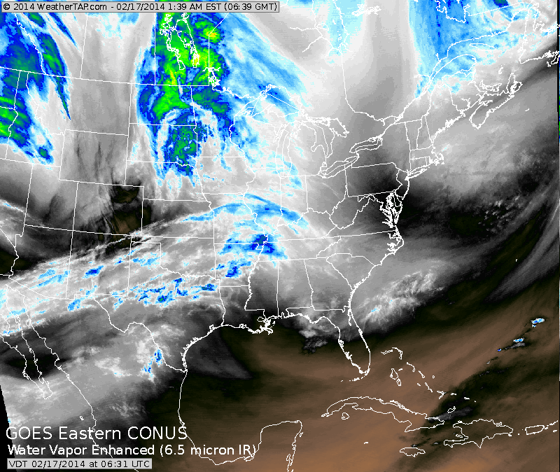
COASTAL SECTIONS AN INCH OR TWO. SATELLITE BELOW SHOWS THAT SYSTEM IN THE MIDWEST. (CLICK ON IMAGE TO ENLARGE)
COASTAL SECTIONS AN INCH OR TWO. SATELLITE BELOW SHOWS THAT SYSTEM IN THE MIDWEST. (CLICK ON IMAGE TO ENLARGE)
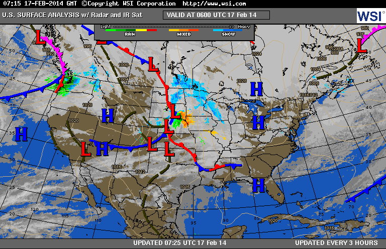
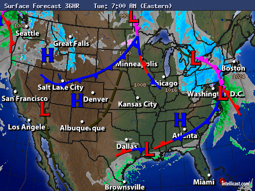
BELOW....CURRENT MAP SHOWING STORM MOVING THRU CENTRAL PLAINS. BELOW THAT...MAP SHOWING HOW THAT LOW PROGRESSES TO THE EAST ON TUESDAY.
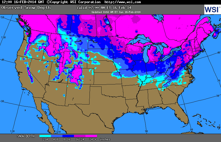
BELOW...SNOWCOVER MAP. IT'S THIS SNOWCOVER THAT WILL HOLD BACK MILD WEATHER IN THOSE AREAS. THE COVER WILL ALSO BE RESPONSIBLE FOR COLDER TEMPS. AT NITE AS LONG AS SKIES ARE CLEAR AND WINDS CALM.
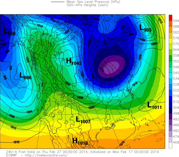
SAVES THE BEST FOR LAST. EURO MODEL FOR NEXT WEDNESDAY...DEPICTING SO VERY COLD AIR AGAIN READY TO MOVE SOUTH. NO DOUBT ABOUT IT...LAST WEEK OF FEBRUARY WILL NOT ONLY GROW COLDER..BUT WILL GET WHITE AGAIN OVER MUCH OF
THE NORTHERN HALF OF THE NATION.
THE NORTHERN HALF OF THE NATION.

 RSS Feed
