
Satellite shows large area of moisture from Great Lakes to Gulf. This will translate to a coastal storm that will bring heavy rain and wind from Mid Atlantic to New England. Well inland...away from the big cities...snow will pile up..and
from Pennsylvania into Green and White Mts. of New England... 1 to 1 1/2 feet possible.
from Pennsylvania into Green and White Mts. of New England... 1 to 1 1/2 feet possible.
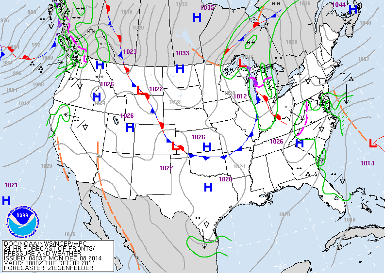
Map above shows a low near Bermuda which will follow the red dotted line (trof). It will get energy from the low over the Gt. Lakes. Elsewhere - quiet.
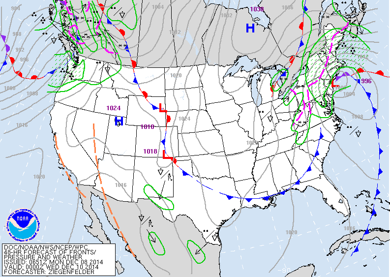
Map above valid for Tuesday nite. The coastal storm is near NYC. The pink dotted line represents the difference between rain to the east and snow to the west.
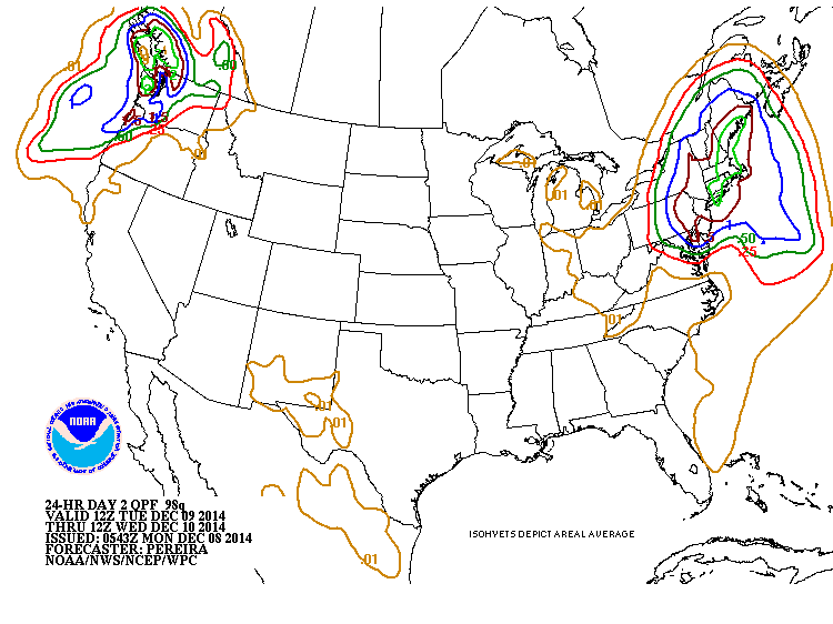
Above...amounts of precipitation for Tuesday. The green line represents 2.00" in Northeast. Heavy rains hitting the PAcific Northwest.
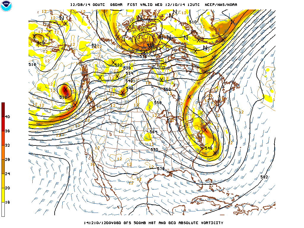
Map above shows the upper air winds. The elongated area over the east coast represents a CLOSED OFF LOW....meaning that circulation is cut off from the prevailing westerlies...thus the storm on the surface has been captured and will stall or move very slowly.
More on this thru the day. Stay safe.
More on this thru the day. Stay safe.

 RSS Feed
