Metro Weather Inc. Services
Like us, follow us, link to us, contact us!
  • Home
    • Daily Weather Discussion
  • Weather Prepared for You
    • Film and TV Production
    • Radio & Television
    • Government and Industry
    • Forensic Services >
      • Weather Record Request Form
    • Metro Morning Monitor
  • About Metro Weather
    • Senior Staff
  • Your Weather Images
  • Contact Us

Another Block....!

5/2/2016

0 Comments

 
Picture
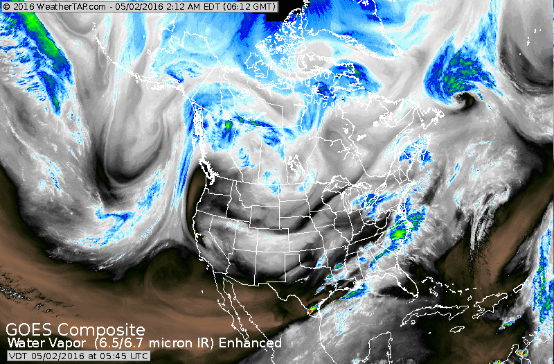
Satellite shows the block well in the Pacific: notice the moisture stream south to north almost to Alaska...then diving down the Canadian Rockies. Moisture then sails out of the Gulf to the East Coast. This pattern holding much of the week...so what you see is what you get until further notice.
Picture
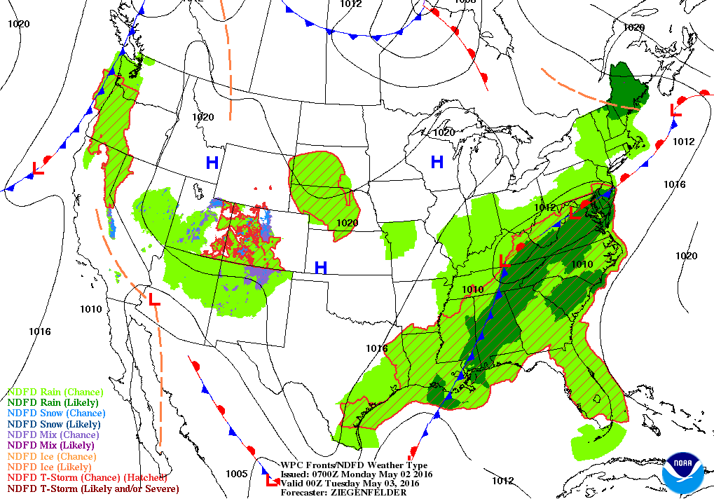
Down on the ground...this is what the map looks like and don't look for many changes all too soon. In time..fronts will drop down from Canada in the East and will only serve to keep the weather the same. 
Picture
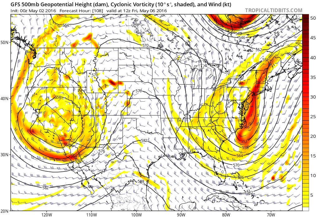
Above...the upper air pattern this week: large upper low in Southwest and another Mid Atlantic...with a ridge over the Plains. The upper lows associated with cool - wet weather.
Picture
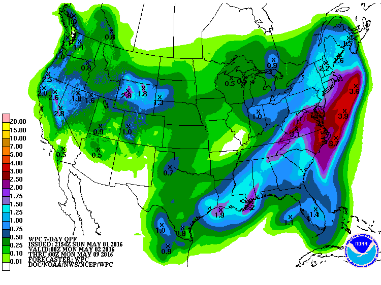
Above...amounts of rain expected over the next 7 days. Keep dry...stay safe.
0 Comments


Leave a Reply.

    Genesis of a Tornado
    We'll have daily weather discussions, talking about major systems on the horizon along with anything noteworthy that pops up on our radar.

    Pat Pagano,
    Mike Merin

    Follow us on Twitter and like us on Facebook to get updates whenever we post a new entry!

    RSS Feed

Powered by Create your own unique website with customizable templates.