Metro Weather Inc. Services
Like us, follow us, link to us, contact us!
  • Home
    • Daily Weather Discussion
  • Weather Prepared for You
    • Film and TV Production
    • Radio & Television
    • Government and Industry
    • Forensic Services >
      • Weather Record Request Form
    • Metro Morning Monitor
  • About Metro Weather
    • Senior Staff
  • Your Weather Images
  • Contact Us

Another 1-2 Punch for Parts of The East......

3/3/2015

0 Comments

 
Picture
Satellite shows low off So. California spinning moisture northeast. That combined with colder air flowing south out of Canada will bring more wintry woes from Midwest to East. Many places from Mid Atlantic and Southern New England will see 6-10" of snow by Thursday. 
Picture
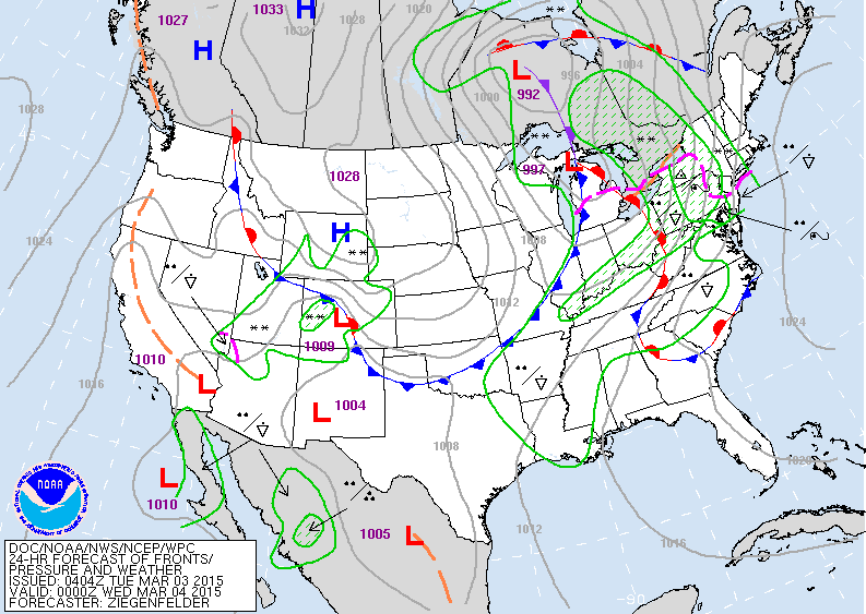
Above...map for this evening....large area of wintry mix from
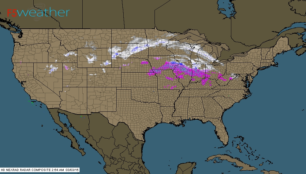
Northeast to Mid Atlantic.  Cold air over the plains. Below...radar from early morning.
Picture
Picture
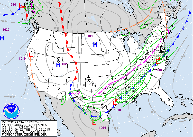
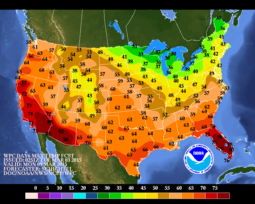
Map for Thursday showing cold front slowly sinking south..with a band of moderate to heavy snow for Southern New England thru the MidAtlantic. Below...high temperatures expected for next Monday.....could that be a sign of this pattern breaking up. Let's hope. Be safe.
Picture
0 Comments


Leave a Reply.

    Genesis of a Tornado
    We'll have daily weather discussions, talking about major systems on the horizon along with anything noteworthy that pops up on our radar.

    Pat Pagano,
    Mike Merin

    Follow us on Twitter and like us on Facebook to get updates whenever we post a new entry!

    RSS Feed

Powered by Create your own unique website with customizable templates.