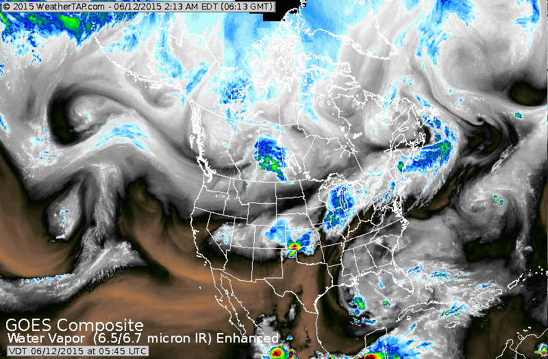
Heaviest rain Great Lakes into Northeast....and over Southern Plains. Notice the flair up in the Gulf Of Mexico. Later you will see how the Canadian Model takes that and wants to turn it into something tropical.
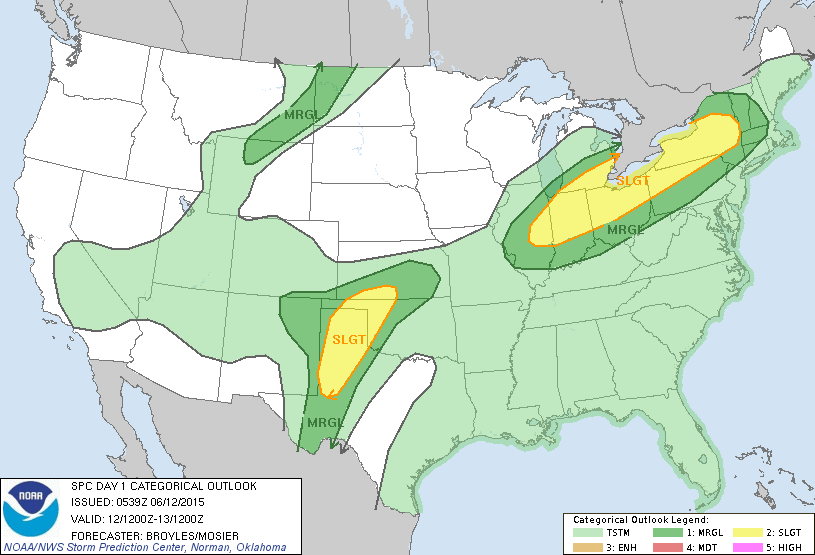
Today's severe risk....yellow.
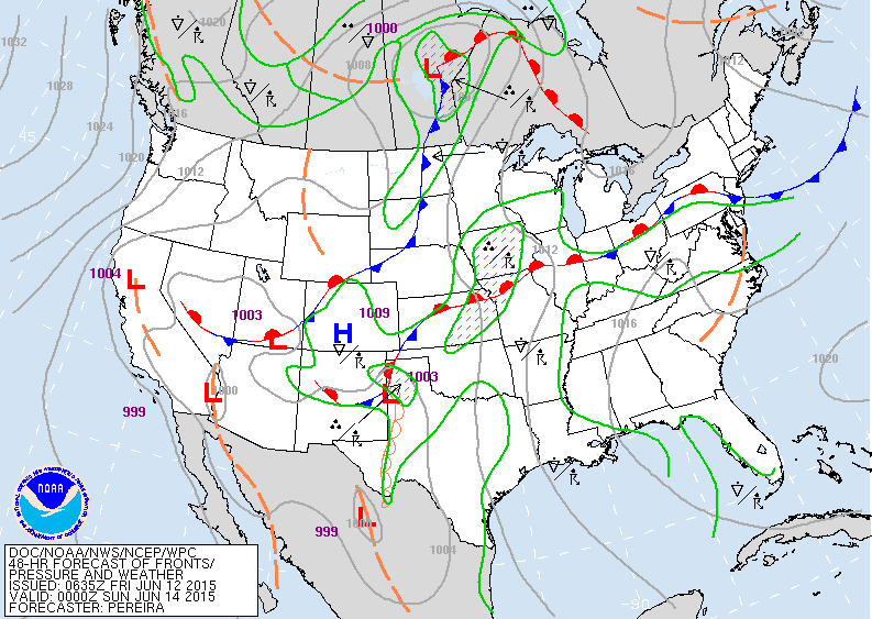
Map above for Saturday evening. East- west front over Eastern half of Nation will be a problem for showers.
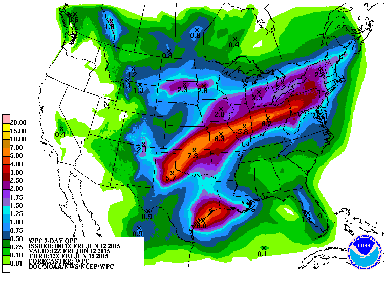
Amounts of rainfall from today thru next Friday.....bright orange 4"- 8".
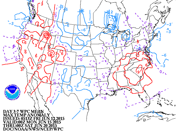
How daytime temperatures will average over the next 7 days. Red - warmer...blue cooler.
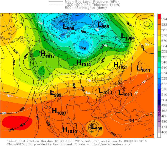
Canadian model takes that flare up in Gulf and turns it into a tropical system and moves it toward Texas Coast by next Wednesday. Only model doing that...and it could be right.
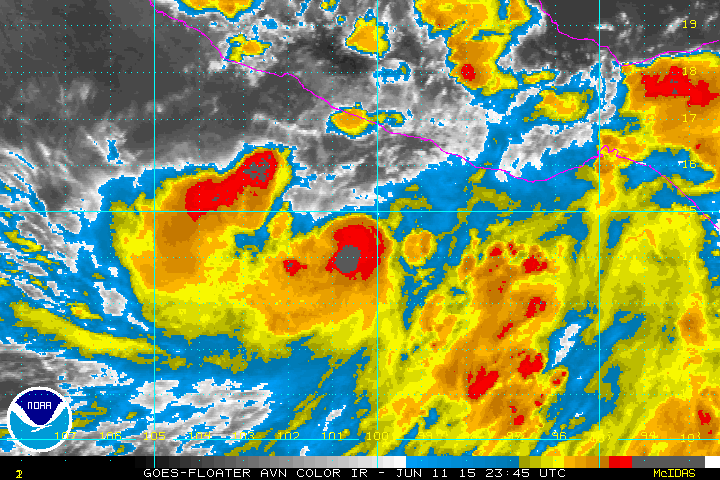
Below...Tropical storm Carlos south of Mexico with 60 mph winds. Be safe and have a nice weekend.
Below...Tropical storm Carlos south of Mexico with 60 mph winds. Be safe and have a nice weekend.

 RSS Feed
