
Complex system heads for East Coast where heavy rain - thunderstorms...some severe all on the agenda into Wednesday. The black areas in Plains and Midwest indciate dry cooler air. Heavy storms for Arizona.
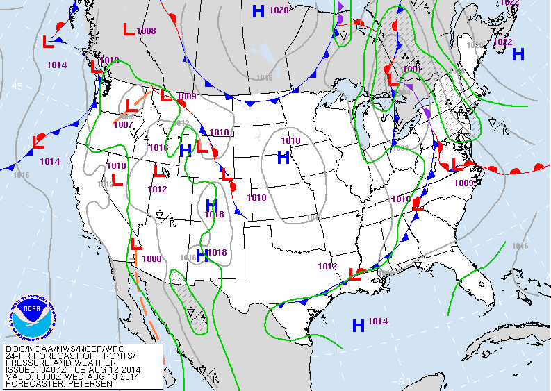
Map for late today above shows the wet system in the east. High pressure over Plains...nice dry weather.
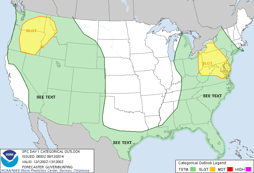
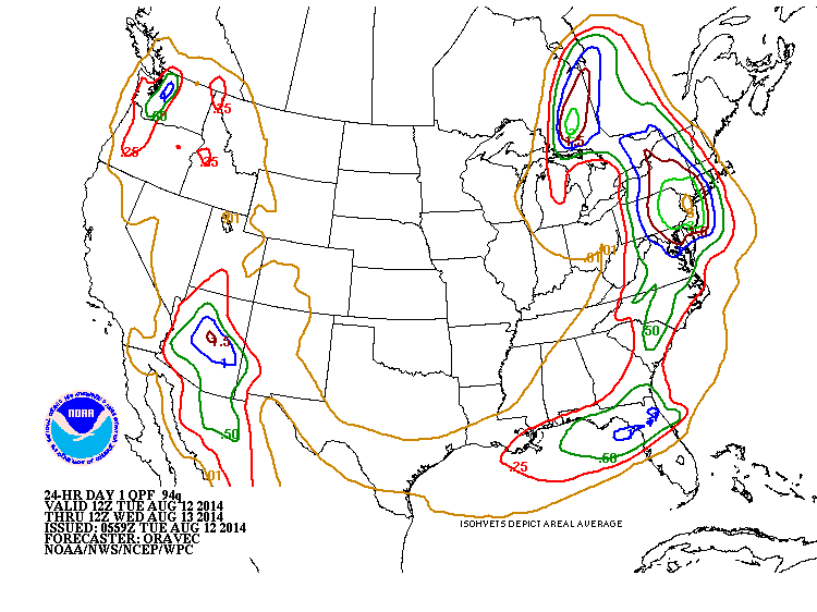
Yellow areas indicate severe threat today and tonight. I think it should be extended toward the coast of New Jersey and into New York State. Below...amounts of rain expected in the next 24 hours.
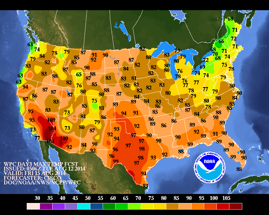
Above...map shows high temperatures for Friday. Notice the green in the Northeast....sign of Fall...with highs in the 60s...
50s over the Canadian border.
50s over the Canadian border.
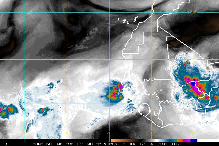
Above....satellite looking at Africa. Colors mean heavy rains..and this is the area to watch for tropical development. Nothing yet...! Be safe.

 RSS Feed
