Satellite shows front offshore but hanging back over Florida and The Gulf. It will cause wet weather there in the next few days. Weak fronts moving across The Gt Lakes will produce clouds from time to time otherwise - quiet.
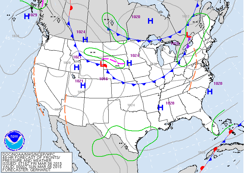
Map above is for Saturday evening. Notice...not much precip. Anything outlined in green is simply scattered and chance of....so take advantage and enjoy while you can.
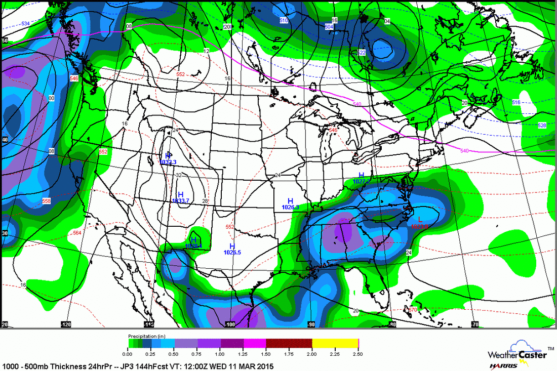
Above...Japan Model for next Tuesday. Rain from Carolinas to Gulf. Rain approaching West Coast. Most other places...quiet. We do see the return to colder air over The East late next week and by mid month expect wintry weather to return to The East. Until then...consider this the January Thaw. Be safe.


 RSS Feed
