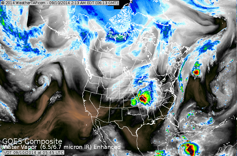
Canadian cold front resulting in large area of rain and thunderstorms in Midwest now - moving toward the east coast tomorrow. Snow for the northern Rockies...while it stays toasty in the south.
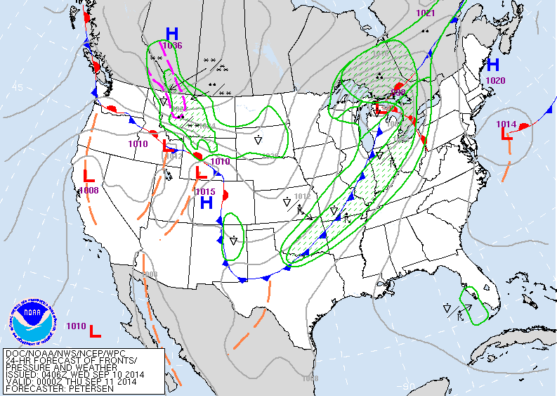
Map above to late today. Cold front moving thru Gt.Lakes...ahead of it and behind...wet. Notice the symbols in Montana....(asterisks) that's snow.
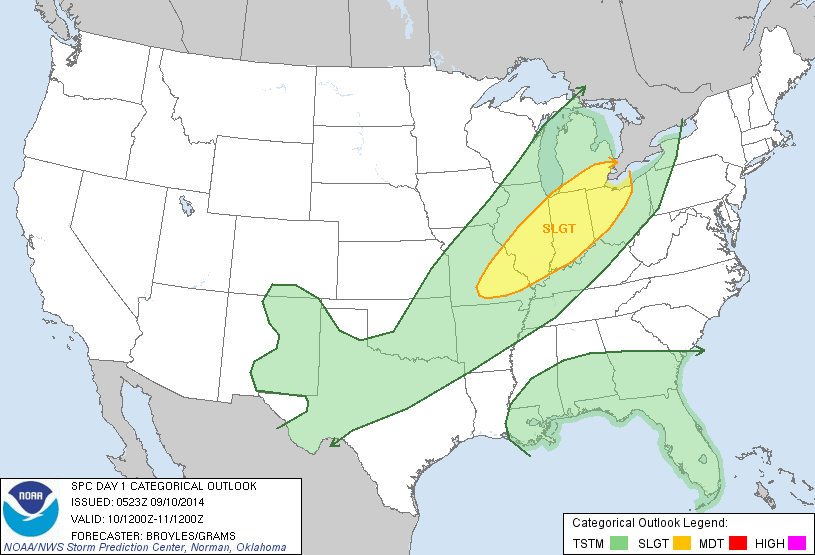
The yellow area above represents today's threat of severe weather.
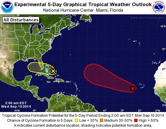
Above...disturbances that are being tracked by hurricane center. One in yellow should not intensify into anything.
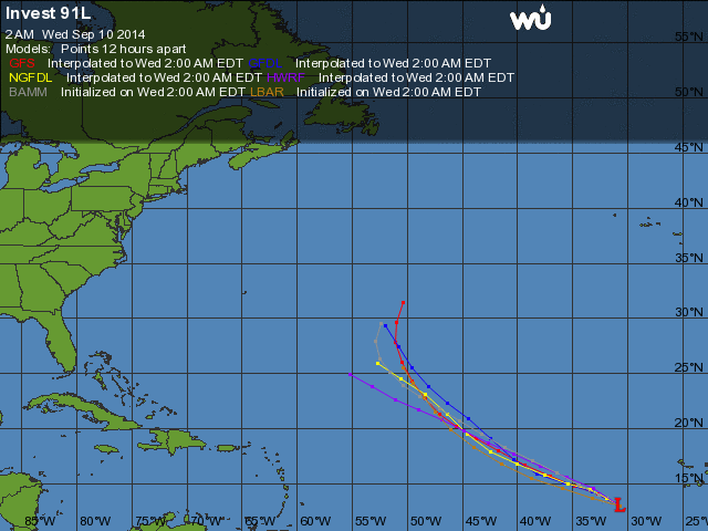
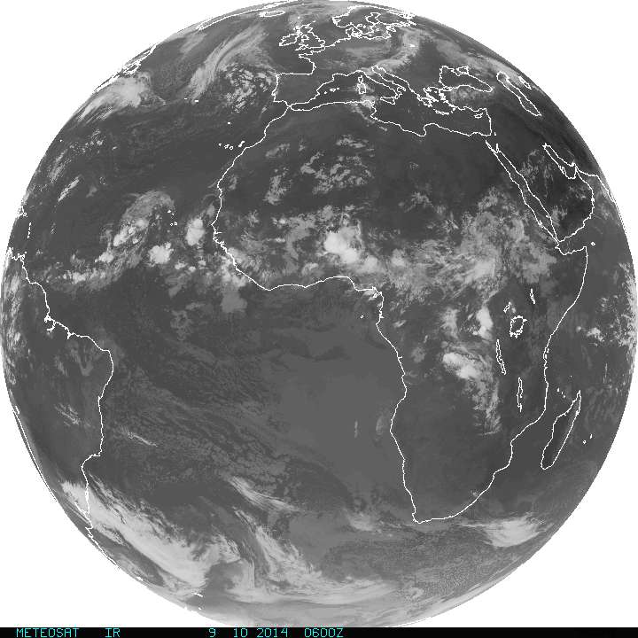
Above - track of African disturbance by various models. Below...satellite picture of African coast. Be safe. Later.

 RSS Feed
