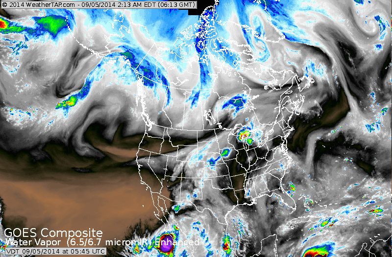
Lots of things to look at on this satellite. Down at the bottom....looks like the next tropical system heads for the Yucatan. Norbert off Baja California..spreads rain into the southwest. Cold front stretches from Great Lakes to Rockies. It will be the focus for severe weather as it moves east this weekend.
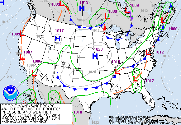
Map above is valid for late Saturday. Cold front along east coast will bring gusty thunderstorms. High pressure in center nation brings great late summer weather there.
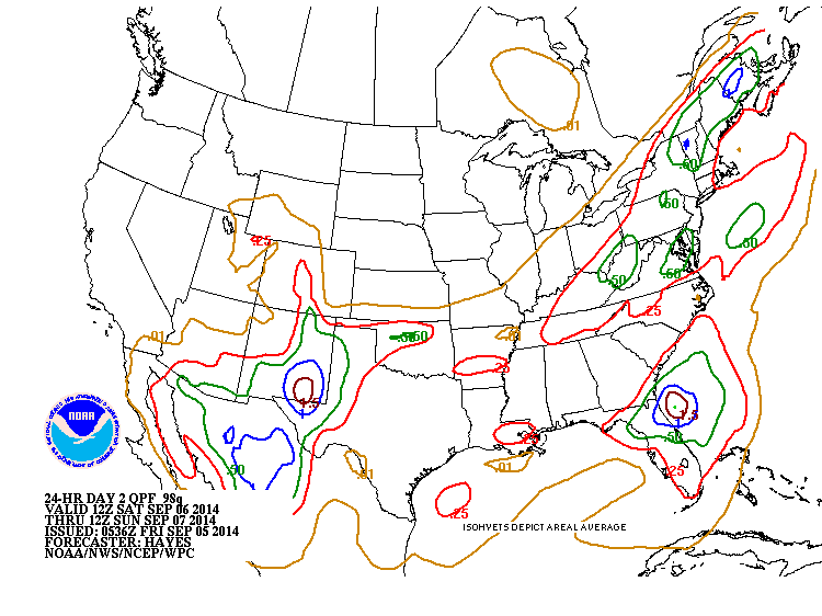
Expected rainfall for Saturday. Heaviest - Maine....NE Florida....New Mexico.
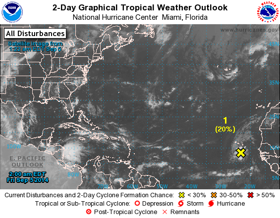
Hurricane center only highlighting disturbance off Africa....but flare up in Central America should be monitored.
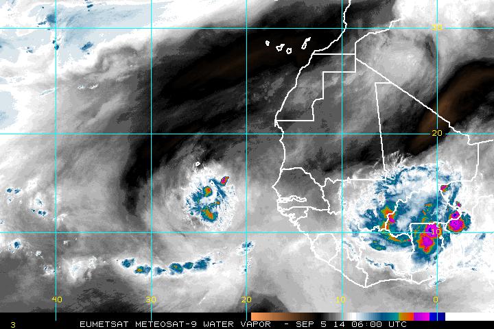
Here you can see disturbance off Africa coast as well as another one over Africa....both must be watched.
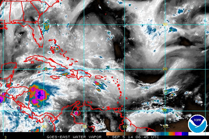
Disturbance Central America will bring heavy rains there. Below...outline for severe weather on Saturday in yellow. These potential storms could have damaging winds.

Be safe and have a nice weekend.

 RSS Feed
