
Satellite shows lots of moisture splattered across the Nation and this will continue the unsettled weather pattern right thru end of the week. At least places like California will get some much needed rain.
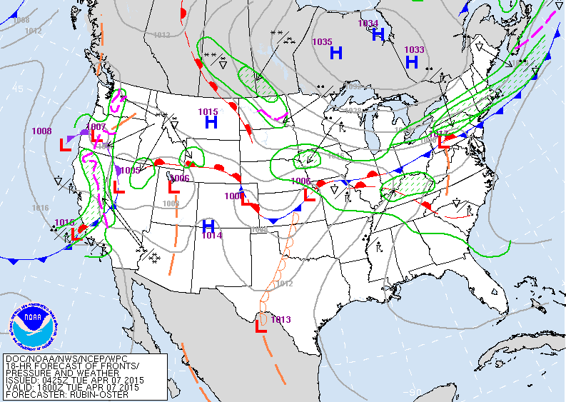
The fronts that extend from the west coast to the east coast will hang over the nation all week long. Most places seeing rain...but some snow or ice still possible in extreme northern regions from upper Midwest to New England. Not out of the question for even places like NYC to see some sleet Wednesday night.
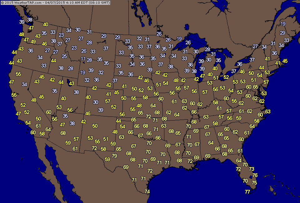
Early morning temperatures continue to be cooler than normal for most of the Nation.
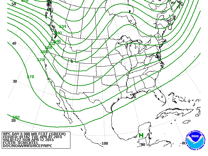
Upper air flow this weekend projecting the trof across The
Rockies...so cooler and wetter there. Ridge over Great Lakes should help temperatures moderate in The East.
Stay safe.
Rockies...so cooler and wetter there. Ridge over Great Lakes should help temperatures moderate in The East.
Stay safe.

 RSS Feed
