After a wet Saturday morning in the Northeast, the sun has come out to shine, even if just momentarily... In the Southeast, high pressure sits keeping the weather calm.
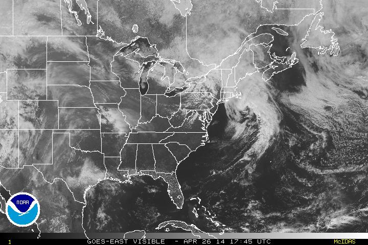
Visible satellite of Eastern US 17:45 UTC
While in the west, an upper low will be the driving force that will completely turn things around for the country this upcoming week. The center of circulation can be seen in the image below in Arizona.
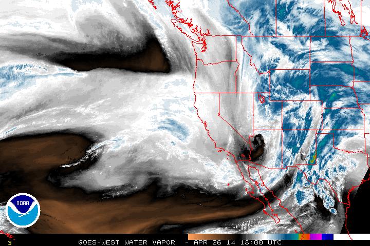
Water Vapor imagery 4-26-14 18:00 UTC
Into next week, this system will slowly churn through the country making itself comfortable through to the end of the week. It will pick up the warm air with a front draped across the Midwest down to the Gulf coast and bring upon a large quantity of thunderstorms, many of which will feature the threat for hail and tornadoes starting Sunday. The below graphic helps dictate where the severe weather outbreaks will most likely be for April 27 ('red' being a moderate threat).
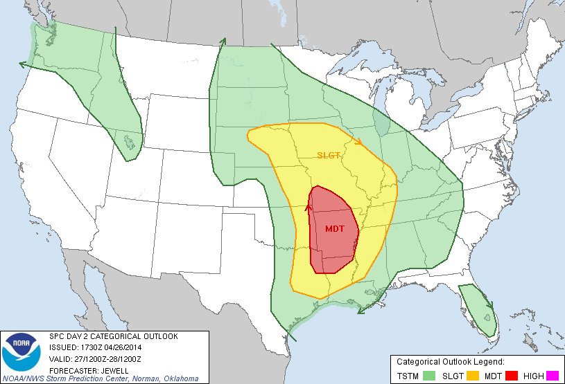
The threat for severe weather will continue on into the early stages of the week with this system, as it moves like a snail to the east.
The rain will reach the East coast by mid-week with very little concern of severe weather, but the storm itself will still be bringing rain showers to the eastern half of the US through to the end of the week.
- JL
The rain will reach the East coast by mid-week with very little concern of severe weather, but the storm itself will still be bringing rain showers to the eastern half of the US through to the end of the week.
- JL

 RSS Feed
