Low pressure centered near Illinois and the New England coast brought precipitation to their local regions today. Areas near NYC even experienced a bit of thundersnow and hail this morning. The visible satellite image from midday today shows the low pressure system in the Midwest and the cold front off the eastern coast associated with the rain and snow that is still falling in parts of New England.
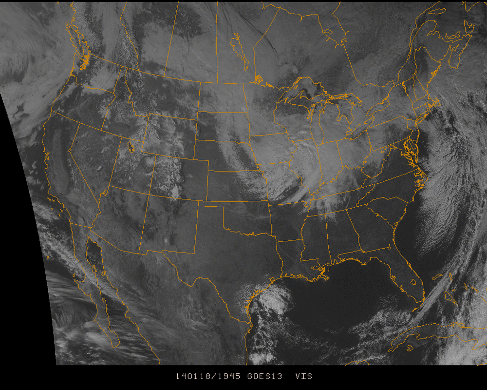
Visible Satellite: 1-18-14
The storm in the Midwest will become more stable as it moves eastward and becomes a weak shortwave. The chance for snow will be mainly off of the Great Lakes in the following days as well as in Northern New England.
The most of the country remains dry into next week when the next arctic wave takes control of the country. While it appears not to be as powerful as the 'Polar Vortex' that happened earlier this month, it will still be a time of very cold air through the week.
The most of the country remains dry into next week when the next arctic wave takes control of the country. While it appears not to be as powerful as the 'Polar Vortex' that happened earlier this month, it will still be a time of very cold air through the week.
The GFS model output below of the surface layer for next Tuesday shows the southward flow of air into the US (the hashed lines) and how much of the country will be dry into midweek.
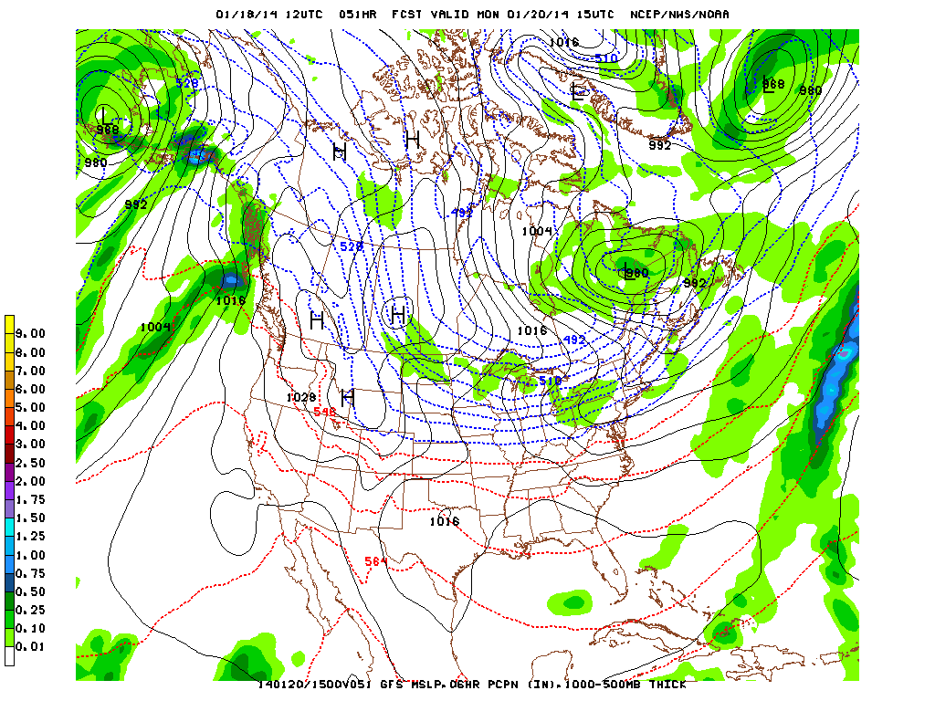
Areas in the North Central US may once again experience daily high temperatures struggling to reach 0°F. Whereas areas near NYC & Chicago will peak near 20°F midweek.
- JL
- JL

 RSS Feed
