The first Spring rain storm of this year is going be quite helpful. Precipitation totals have actually been quite below average for the month of March and this weekend could bring up to 2" of rain to many areas on the upper east coast.
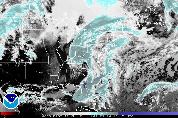
IR image 18:15 UTC March 29, 2014
The center of the large and very moisture potent low can be seen in the eastern Tennessee/western North Carolina area based on this infrared satellite image. Strong upper level jet streaks will help feed more energy into this low causing it to deep as it churns its way slowly to the east.
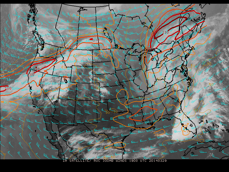
300 mb winds - 1800 UTC March 29, 2014
As the dry air flows into the circulation on Sunday, the Southeast coastline will dry out while the entire Northeast will be a washout. Colder air into Sunday night might even result in a bit of sleet & freezing rain into New England.
precipitation will linger into Monday but clouds will move out for all areas late that day with high pressure right behind bringing sunshine and 50's for much of the Northeast, reaching 60 into the Mid-Atlantic states.
While certainly a nasty and wet weekend, it is a clear indication of the changing of the seasons and those boots should be stored away

 RSS Feed
