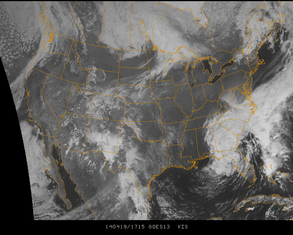
A weakening low pressure system is circulating off the Southeast coast today and will move on out to sea into tomorrow. Skies will be sunny and dry for most of the Eastern US. Visible satellite below shows the next disturbance beginning to form in the Southwest. This disturbance will phase with the energy coming into the Pacific Northwest as it moves across the Northern Plains early next week.
Severe weather is a small risk as this process moves forward into Sunday & Monday for areas from Texas and further north into the Midwest, however rain showers and thunderstorms will likely develop. Continuing forward into the midweek, Tuesday and Wednesday will see the chain of rain from north to south move across the Mississippi Valley and over to the east coast.
What is most notable in looking at the weeks moving forward is that the atmosphere is entering Meridional Flow which results in low pressure systems forming in waves and bringing lots of unstable air through the country. In simplest terms... A couple days of sun, followed by a day or two of rain, then a couple days of sun, etc.
But considering we're in April, we need rain showers to bring us May flowers! So keep your umbrella handy and an eye on our forecasts in the coming days to stay informed on when to expect rain in y


 RSS Feed
