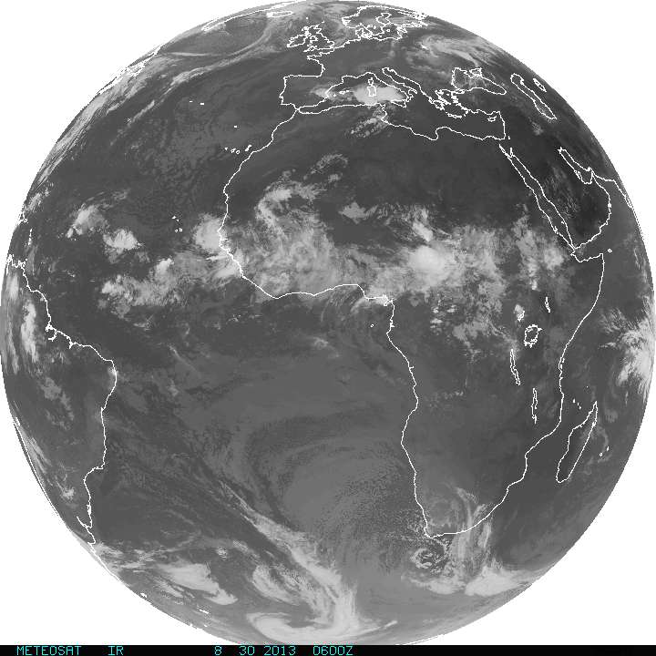
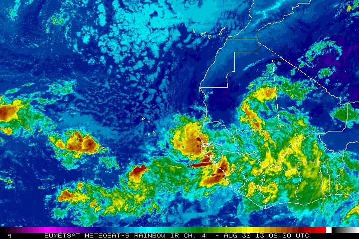
Just along The African coast...a pretty good formation that is more than likely going to become tropical storm Gabrielle. This post is prior to 5am ...so have not seen any data from hurricane center...but would not be surprised if they name it now. Next picture is a close up.
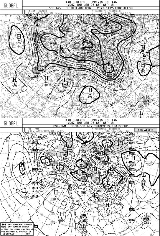
The Canadian Model for next Wednesday...shows Gabrielle approaching The Bahamas. This is the system they have been picking up all week. In the next map...you will see where they put her for
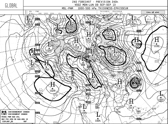
next Sunday......dangerously close up The East Coast.
next Sunday......dangerously close up The East Coast.
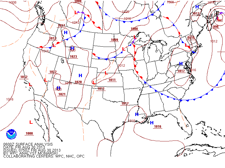
A look at this a.m. weather map continues to show the "noisy" condition. All of the fronts will consolidate to one strong front plowing thru The East Coast by Tuesday. Prior to that...hazy - humid - chance of thunderstorms. Have a nice and safe holiday weekend.

 RSS Feed
