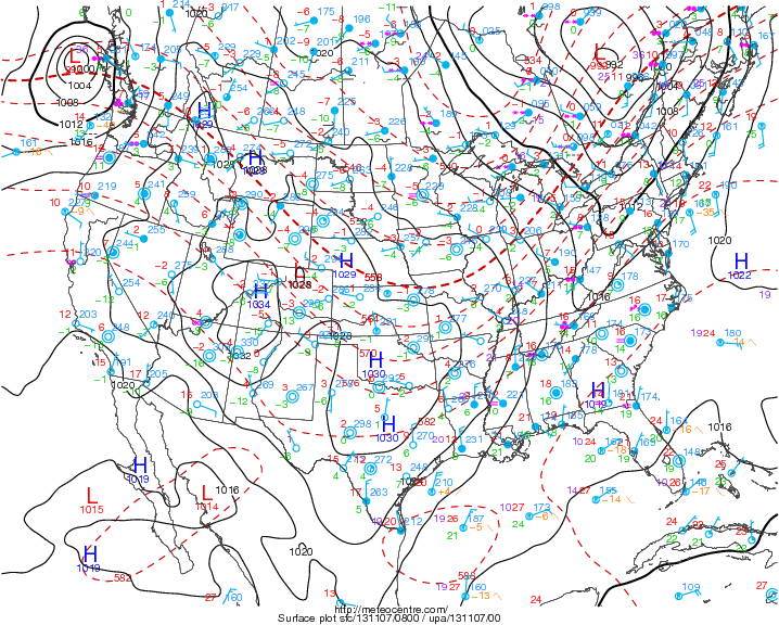
Weather map above shows the cold front over Appalacians ( "v" shaped isobars). High pressure covers much of the Nation...should be the rule right into and thru weekend with no storms...except Pacific NW.
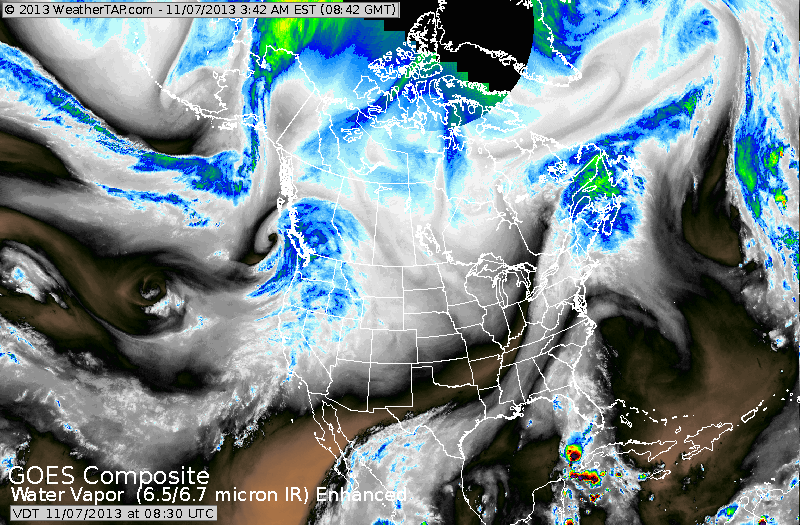
Water vapor pix above shows dry air over much of Nation (black/brown)
Rain down Appalachians moving east. Rain and snow in Pacifc NW.
Some heavy thunderstorm between Florida and Cuba. Now...below...
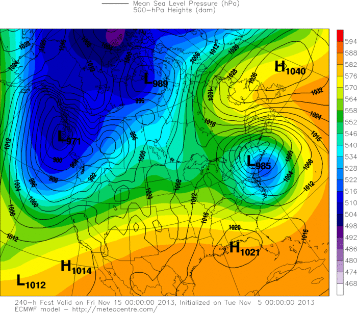
The Euro Model from Tuesday....showing a storm for Northeast. Keep in mind it backed off on this yesterday. Just below...you will find today's Euro...who has decided to put it back.
Rain down Appalachians moving east. Rain and snow in Pacifc NW.
Some heavy thunderstorm between Florida and Cuba. Now...below...
The Euro Model from Tuesday....showing a storm for Northeast. Keep in mind it backed off on this yesterday. Just below...you will find today's Euro...who has decided to put it back.
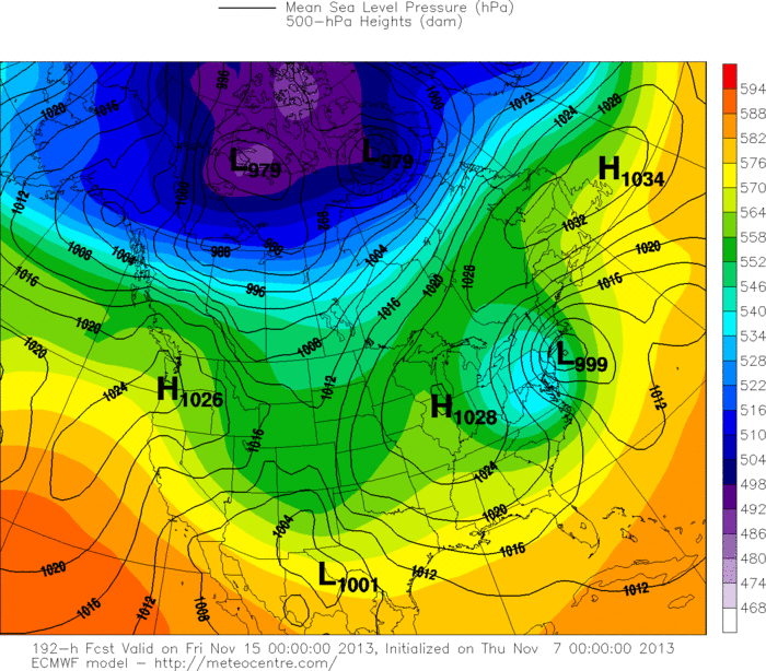
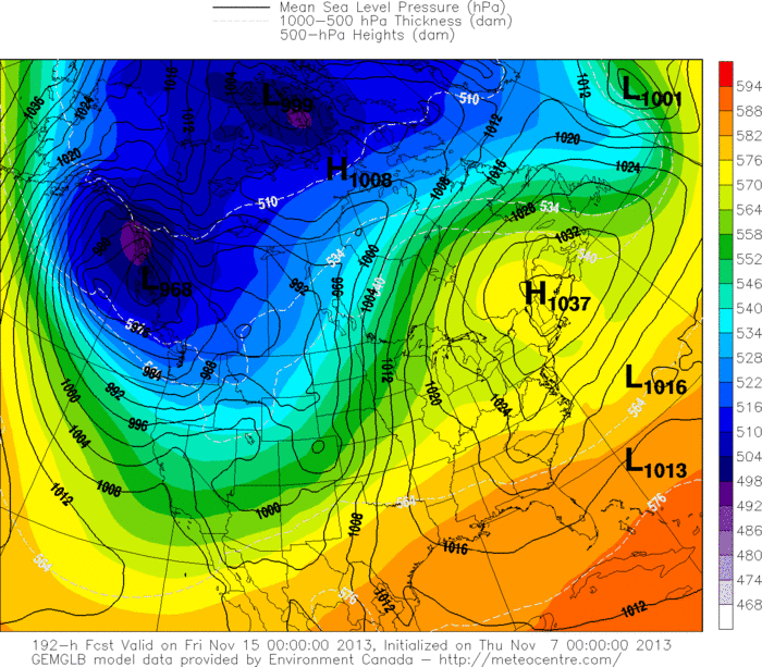
Below...find the Canadian for same period....next Thursday. Meanwhile..The GFS model wants to bring a snowstorm to The Appalachians while rain falls along the coast. In summary...late next week could be more than interesting. Later.

 RSS Feed
