
You don't have to be a meteorologist to see the powerful jet stream off the west coast. This may be the first sign that a pattern change is underway. It would result in wet stormy weather for Pacific Northwest and warmer weather east. The blue/green in Dakotas is a cold front which will pass ff the east coast Monday.
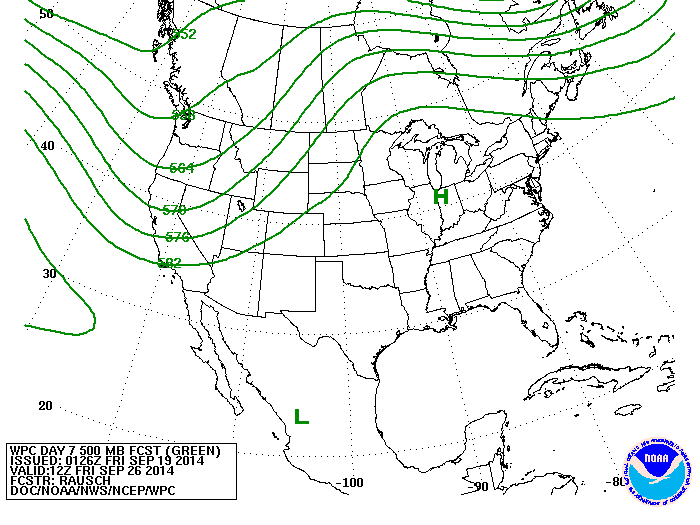
The map above reflects the upper air for late next week. It shows the jet stream along the west coast and then a ridge or high pressure over the East. So as fall comes in..things will get warmer east and cooler west.
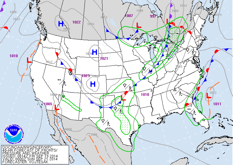
Map above is for Late Saturday. Cold front pushing thru Great Lakes may result in some severe weather there. Watch low off Southeast coast...it could mess things up as far north as New England with low clouds...fog...drizzle.
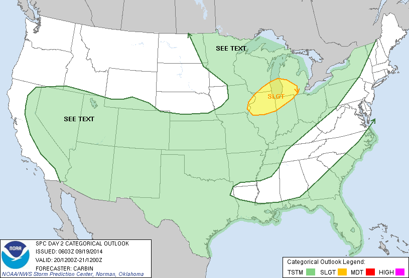
Yellow area above indicates area threat for severe weather on Saturday.
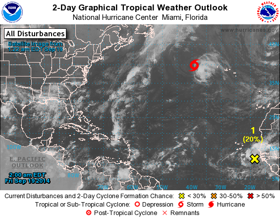
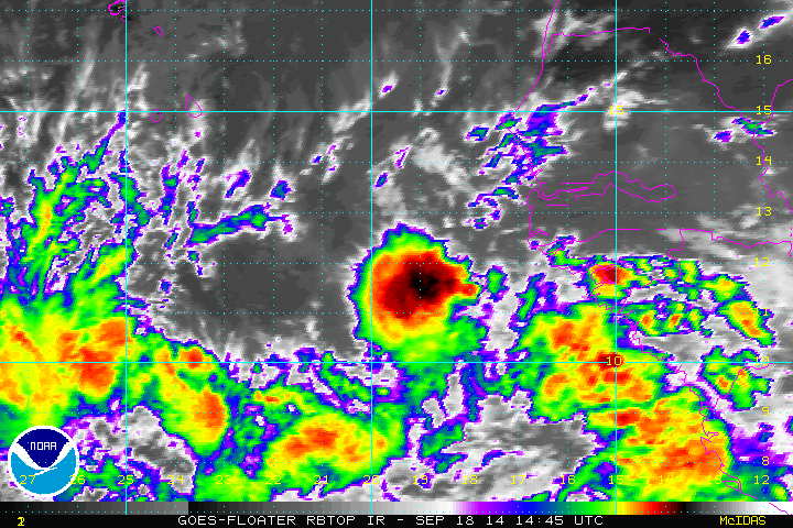
Above...Atlantic tropics...quiet...with one disturbance off Africa. Below...a close up look at that disturbance....does not look too organized now. Have a nice weekend...be safe.

 RSS Feed
