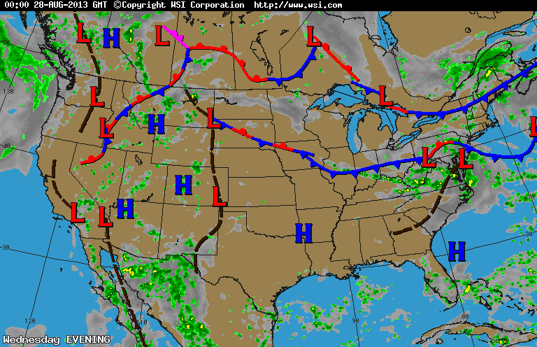
You don't need to be a meteorologist to look at the above map and be able to tell that very unsettled weather prevails. There are more fronts on the map than the Pope has cardinals. Looks like mid-Atlantic is today's target. After that it will focus on the East coast this holiday weekend. Cold front in Montana will head to the Gt.Lakes and Northeast Monday...when the best chance of thunderstorms will be likely.
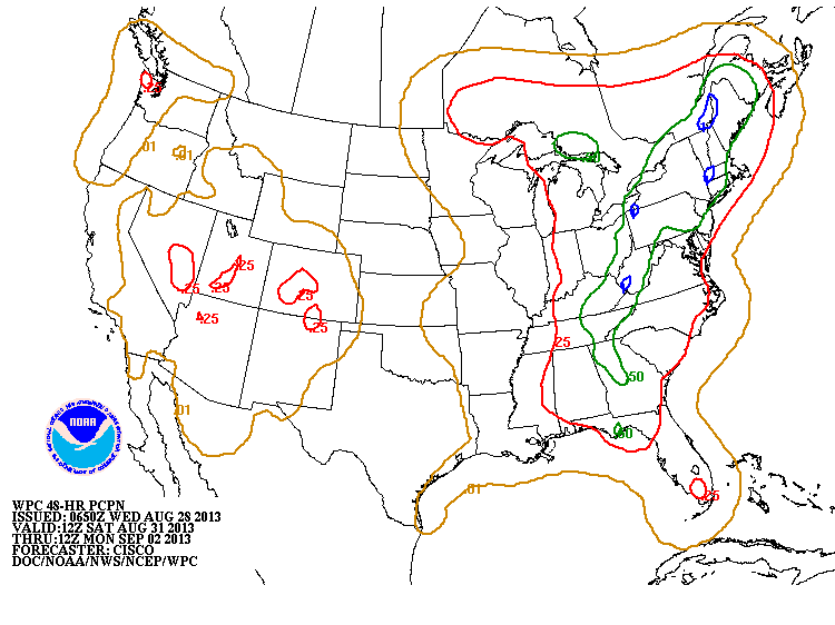
The above map shows how much rain could fall this weekend. The small circles of blue indicate 1" of rain. How they can pin point The Berkshires...Erie Pa., etc....is beyond me. i.e. yesterday 1/2" amounts were the max for New England and Ct. thru Cape Cod got 2".
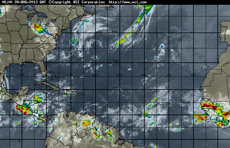
Atlantic satellite shows a good tropical wave in the south - central Atlantic....Canadian model is either picking this up or one near Africa and bringing toward US Mainland again early Sept. Hard to see...but see the unsettled weather in Southern most Fla., that has a circulation and should be watched.
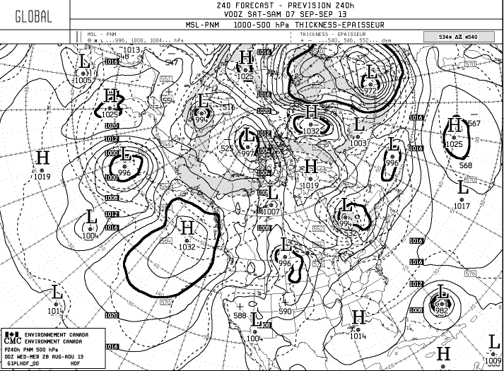
This is the Canadian Model - 10 days out- Sept. 7th....see the tropical
system approaching Bahamas. If that were right...it should have
a direct path toward the Atlantic coast.....but that's 10 days out. Later.
system approaching Bahamas. If that were right...it should have
a direct path toward the Atlantic coast.....but that's 10 days out. Later.


 RSS Feed
