
A front moving across the Northeast will produce some light rain and snowshowers today. Another system now in the Northern Rockies will speed east and bring the Great Lakes and Northeast some rain and snow Tuesday nite.
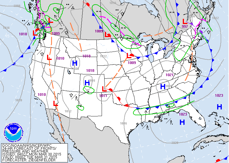
Map is for this evening...showing one front moving off the northeast coast. Another one over the Gt. Lks will bring some rain and snowshowers there and to the Northeast Tuesday. System off the west coast will bring widespread rain and storms to center nation Thursday...east coast Friday and Saturday.
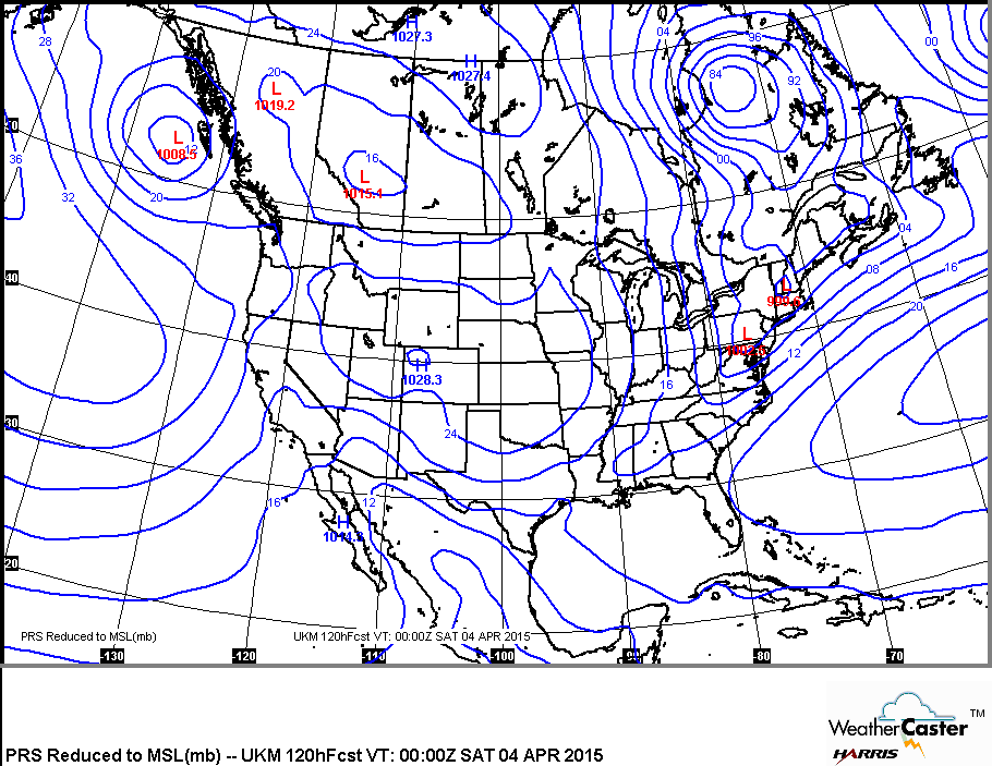
Map above is for Friday evening. Front extends down thruu the Northeast into Gulf States. It should clear the coast on Saturday.
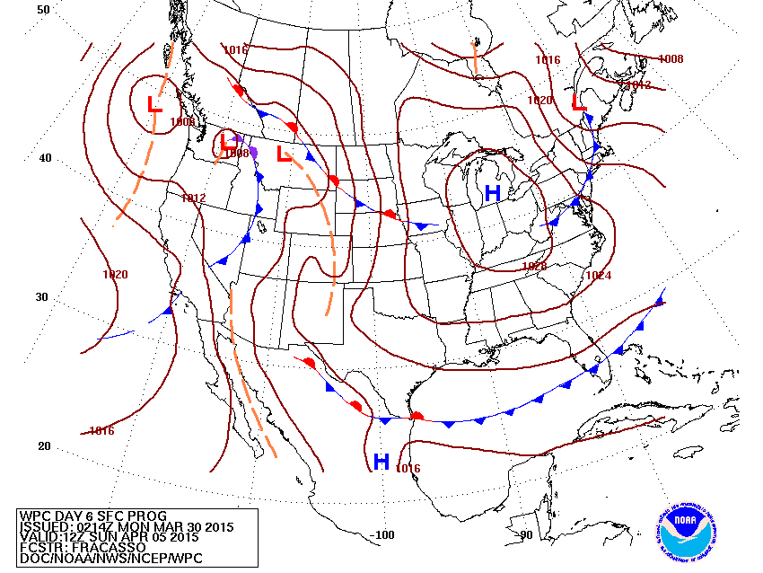
Above...what map should look like come Easter Sunday.
With the exception of the Northwest...where rain and some snow is likely....much of the nation will be fair. Showers are possible in so. Florida.
With the exception of the Northwest...where rain and some snow is likely....much of the nation will be fair. Showers are possible in so. Florida.
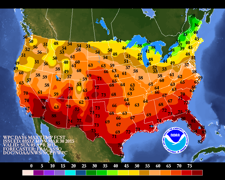
Above...map showing what afternoon temperatures should be like on Easter Sunday afternoon. Of course..the coolest temperatures still found in Gt. Lakes and Northeast...hope this pattern holds in July and August. Be safe.

 RSS Feed
