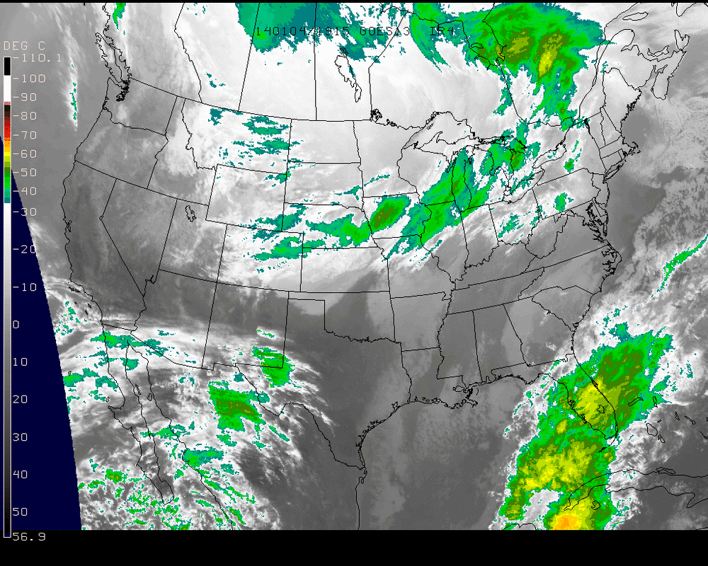
Looking at the IR image from the afternoon today, we see e pattern that is being set up for the nation in the coming days. There is a very deep trough extending down into the Central US that is going to keep temperatures well below 0 through into mid-next week for the upper Midwest. With gust winds added into the mix, wind chills could be seen below -40F in areas close to the Canadian border such as North Dakota and Minnesota.
Meanwhile, the trough will push east and bring along Gulf Coast moisture momentarily bringing temperatures in the Northeast into the 30's and 40's, dropping rain onto the snow that fell with the storm late this past week. While the rain and milder air will help in melting the past fallen snow, the more dangerous part comes after the rain...
Meanwhile, the trough will push east and bring along Gulf Coast moisture momentarily bringing temperatures in the Northeast into the 30's and 40's, dropping rain onto the snow that fell with the storm late this past week. While the rain and milder air will help in melting the past fallen snow, the more dangerous part comes after the rain...
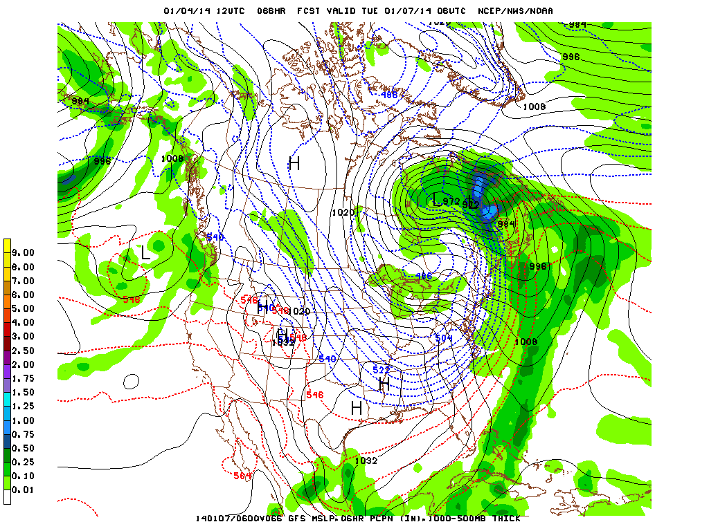
The massive Arctic High bringing record cold temperatures to the central states will then move into the Northeast on Monday night. Temps that peak in the 30's and 40's on Monday could see a drop all the way to near 0 overnight, prompting a very quick and dangerous freeze of the rain that fell on Monday in addition to the remaining snow and any that does fall from Sunday-Monday's storm in colder regions. The gusty winds will also affect the Northeast from late Sunday - midweek and wind chill advisories will almost be a certainty.
So far Winter appears to be a roller coaster ride. January & February are generally the coldest and snowiest months of the season so we've only just begun! Stay warm & be safe!
- JL
So far Winter appears to be a roller coaster ride. January & February are generally the coldest and snowiest months of the season so we've only just begun! Stay warm & be safe!
- JL

 RSS Feed
