
It's going to be a mess starting tonight into Monday night. Along with high winds, many areas above central CT (or above NJ as you go more west, just follow the line in the map above) will be getting snow. Unfortunately as you go along that line and just south of it many areas will get widespread sleet, and freezing rain towards sunrise which can cause some ice for the morning commute. Below is what the precip looks like at the moment as well as what the fronts on the system looks like.
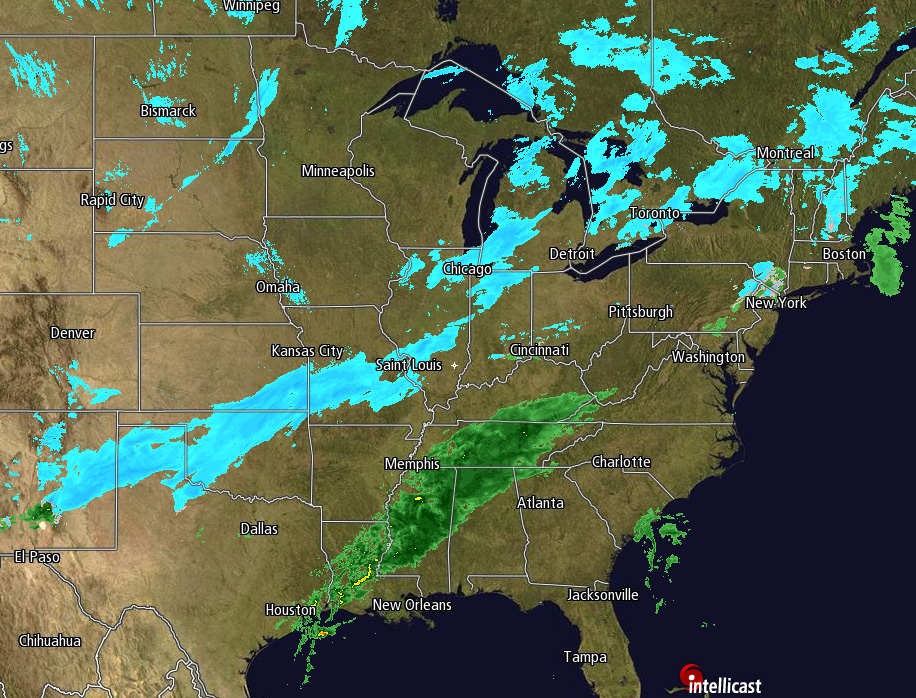
As that low moves east across the Great Lakes and pulls the cold front along with it, it will pick up speed and energy bringing heavy rain overnight, or heavy mixed or wintry precip as you go more north. Why the sudden burst? Take a look at the jetstream and you'll see why.
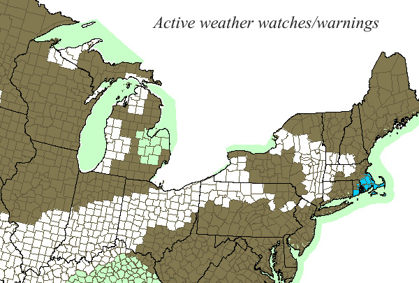
The current watches and warnings are below. White are for winter weather, the light green are for flood warnings, and the blue near Cape Cod are wind warnings.

 RSS Feed
