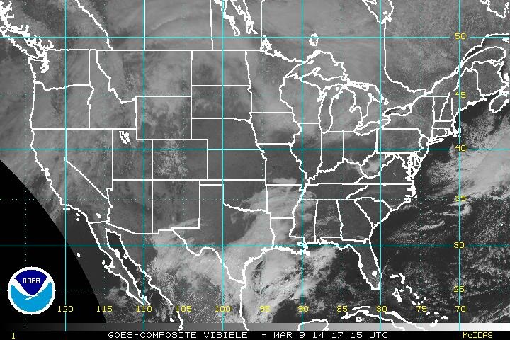
The visible satellite image from today shows dry skies for much of the country. High pressure is in control from the Southwest, all the way to the Northeast.with temperatures still quite enjoyable for early March.
The Pacific Northwest has been getting hounded with precipitation as of late and the next incoming Low will enter through said region.
The Pacific Northwest has been getting hounded with precipitation as of late and the next incoming Low will enter through said region.
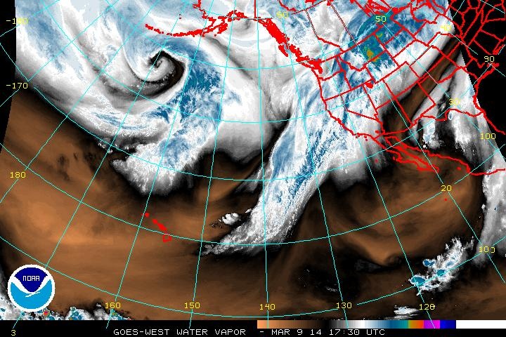
The water vapor imagery shows a huge circulation to the southwest of Alaska. This will carry on towards "The Last Frontier". The signature of the trough that will push into the Pacific Northwest can be seen in the dip of dry air just to the west of Washington & Oregon. This will sift its way through the US into the week and bring a windy and wet situation to the Midwest & eastern half of the country in both rain and snow late Tuesday . Since the trough has yet to reach land, that's about as in depth as we will go with this for the moment until more information is available tomorrow.
Enjoy the rest of your weekend!
- JL
Enjoy the rest of your weekend!
- JL


 RSS Feed
