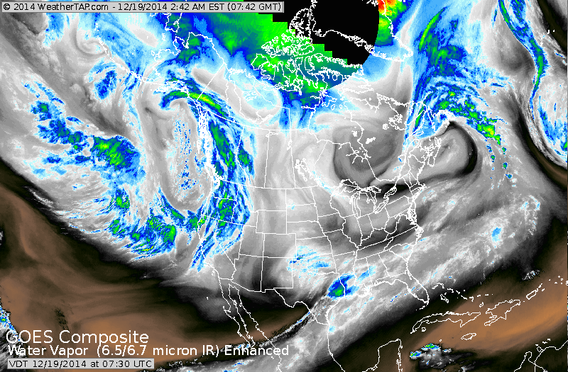
Satellite shows dry air over much of the Nation: exceptions:
Gulf Coast...where places like New Orleans will get 2" of rain.Other area - Pacific Northwest. That system is the one that will head across the Nation and bring stormy weather
Tuesday/Wednesday. Mainly rain and wind...but snow is
possible on the back side...from Upper Midwest thru upper Great Lakes.
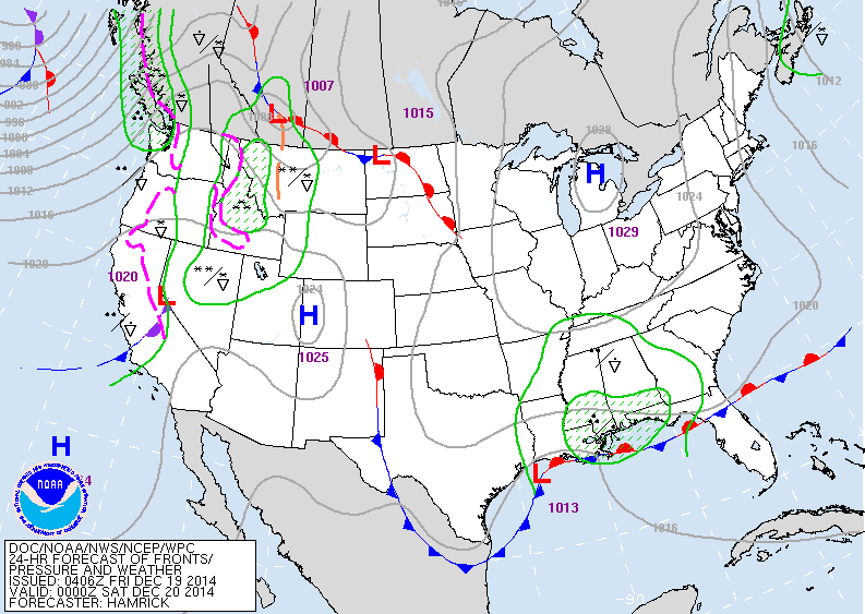
Today's map shows that storm in Gulf which will bring
wet weather across the south and to the southeast. System out west will cross The Rockies this weekend.
wet weather across the south and to the southeast. System out west will cross The Rockies this weekend.
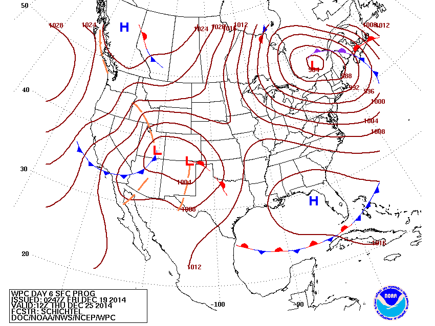
Christmas Day Map - storm in Quebec Canada producing gusty winds from Lakes to Mid Atlantic...will lake effect snows in the lee of the lakes. Next storm in southern Rockies will head northeast but should not be a large one.
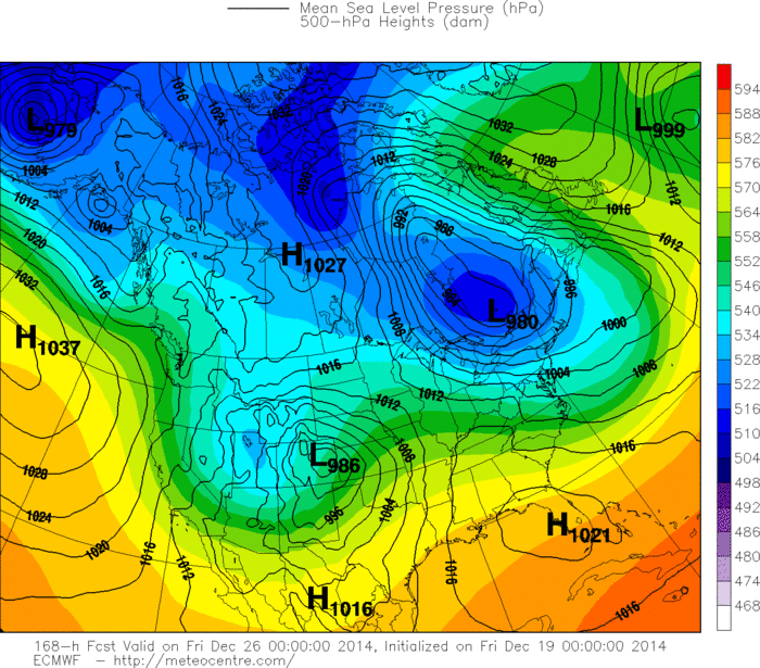
This is the Euro Model for Christmas Day. Not much different from previous map.....so hopefully this will not change much and the worst travel day will be Wednesday and not Thursday....nation-wide. Have a nice safe weekend.

 RSS Feed
