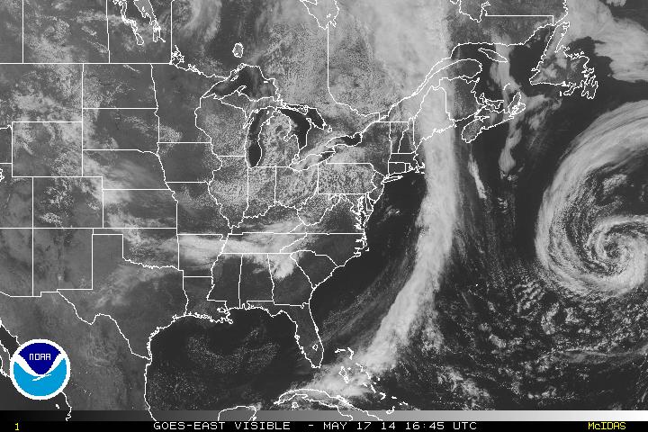
A pretty standard mid-late Spring weekend for the country. Visible satellite imagery below shows the atmosphere in a quiet state on this Saturday.
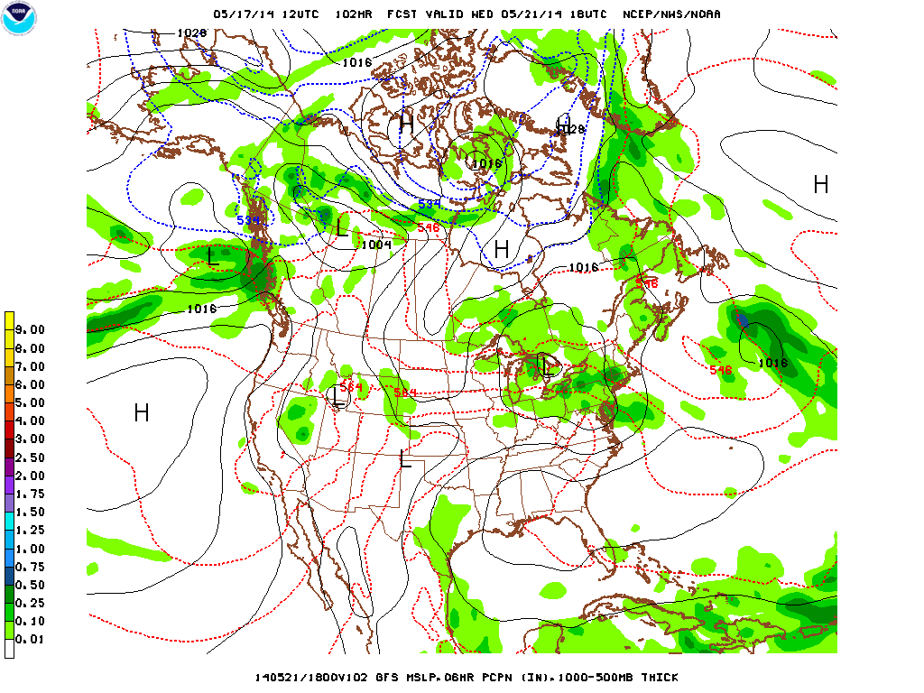
The front that brought plenty of rain to the east coast yesterday has pushed on out and high pressure will settle in for the first half of the week. A few sprinkles could fall in the Northeast on Sunday but generally dry conditions. Temperatures throughout are on par for this time of year. The next area of "concern" shows up late Wednesday taking the path you would generally see an Alberta Clipper follow during the Winter. The model output below shows low pressure across the Great Lakes late Wednesday and will track east-southeast through to the end of the week.
This will bring out the umbrellas for sure but temperatures won't be affected too much, just a bit below average generally in the affected areas.
Enjoy the rest of your day!
- JL
Enjoy the rest of your day!
- JL


 RSS Feed
