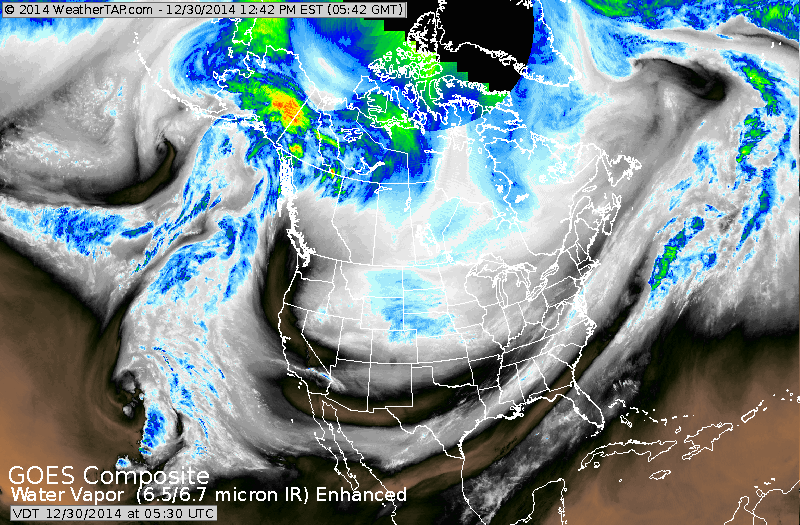
Satellite shows a wide trof cut out from California to East Coast. Embedded within the trof are disturbances that can either combine to remain separate....still to be determined.
Snow is the Rockies will move east and that should be the next even for The East this weekend.
Snow is the Rockies will move east and that should be the next even for The East this weekend.
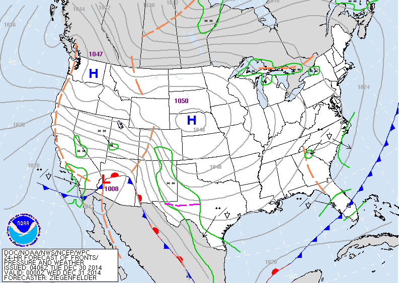
Above - today's map shows some lake effect from upper Great Lakes into Watertown area of NY. Lighter snows and rains in the southwest.
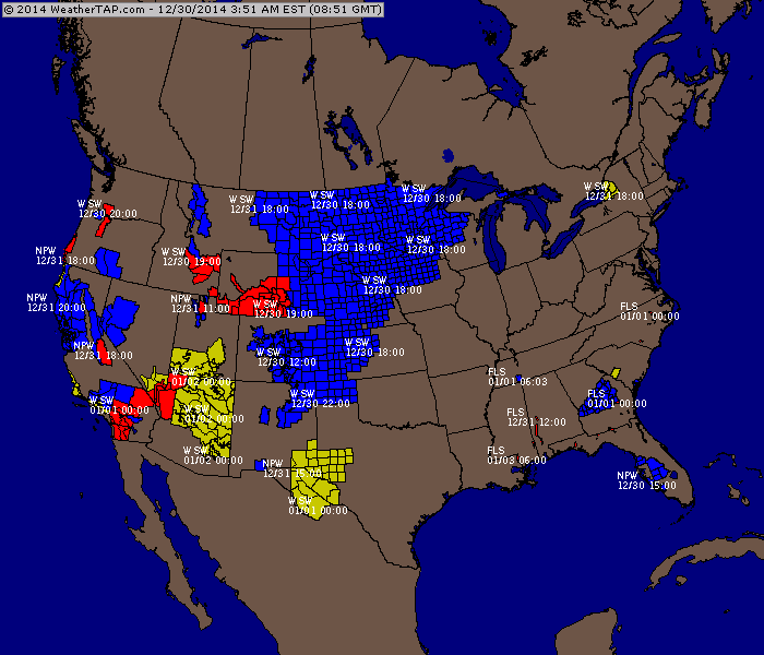
Above...shows where watches and warnings are issued.
Much of the blue is for wind chill advisories. Yellow...watches....red = warnings.
Much of the blue is for wind chill advisories. Yellow...watches....red = warnings.
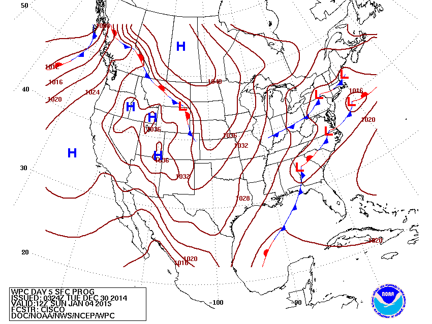
Map above is for this Sunday. Widespread precip in the east. The front from Boston to Ohio pretty much will make the boundary between rain to the south and snow to the north...with a wintry mix in between. Aside from that...rest of the NAtion...fair and cold. Be safe. Later.

 RSS Feed
