Low pressure traversing across the northern plains has brought down much colder air from Canada, resulting in spotty snow showers in the same US region.
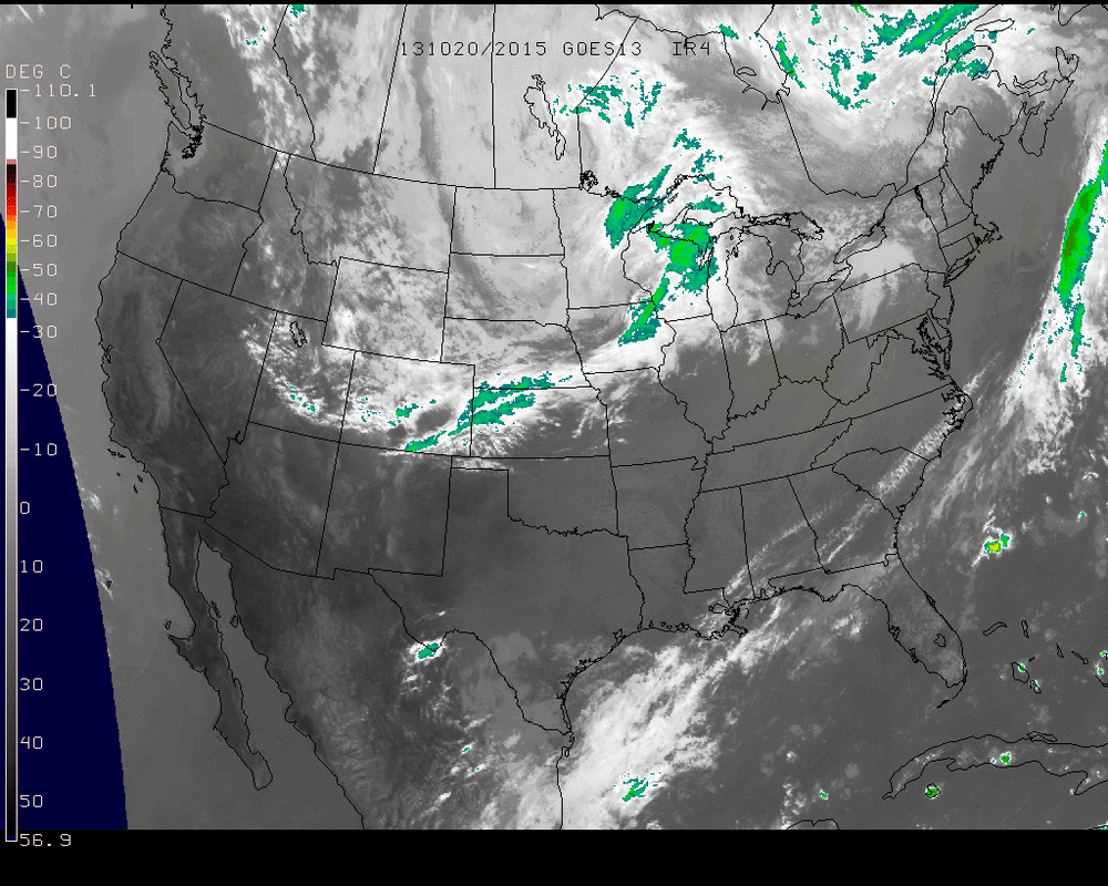
The spread of the clouds can be seen on the above infrared image from Saturday afternoon. Areas of precipitation have moved across North Dakota & Minnesota, as a rain & snow mixture in various locations.
This low pressure will continue to spiral eastward and pass through the Northeast on Wednesday. After this, we will see a brisk end of the week throughout the northeast region. Nothing like the daytime high 30's seen in the north central, but brisk 40's & low 50's into the weekend with clear skies.
- JL

 RSS Feed
