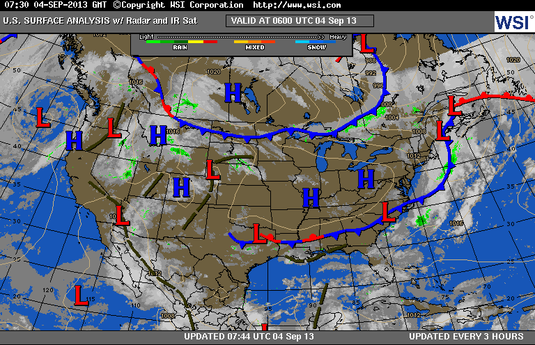
Our cold front has moved offshore...and everyone except Fla. will share in some nice late summer to early Fall weather into the weekend. A second cold front over the upper Great Lakes will re-enforce this air...so that Friday morning...30's are possible across the Northeast.
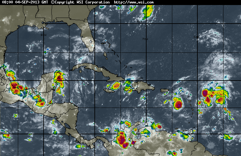
Notice the concentric area of deep red just southeast of Puerto Rico.
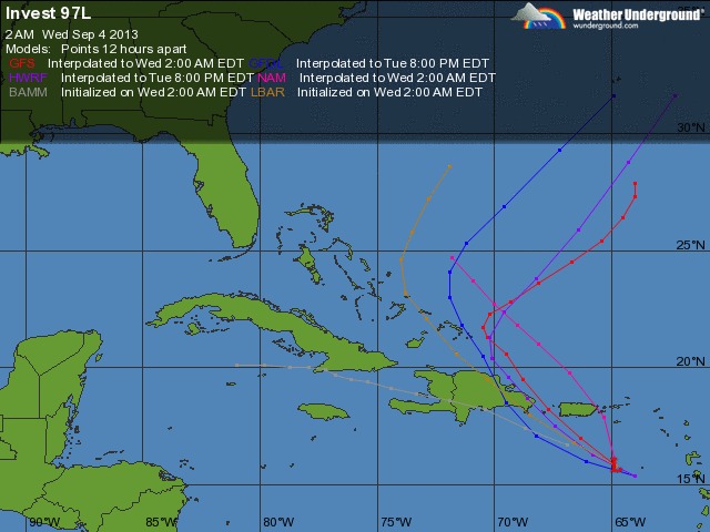
It looks like that could become Erin and if so...it would move northwest then north. Most models keep it well offshore. Next map shows you what computer models think will happen with it.
It looks like that could become Erin and if so...it would move northwest then north. Most models keep it well offshore. Next map shows you what computer models think will happen with it.
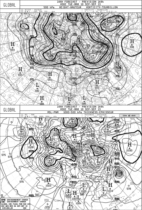
This Canadian model (bottom panel) shows this disturbance east of New England by Monday. Upper panel shows upper air winds. Warmest weather underneath that high...and you can see dips in the jet stream over Northern Rockies and Northeast...a sign of the time of year. Enjoy the dry weather....later.

 RSS Feed
