Air temperatures have been quite unbearable to say the least for a substantial amount of time... In fact counting today, the high temperatures at LaGuardia Airport, Newark Airport, Bridgeport Airport, Islip MacArthur Airport, & Central Park have reached 90+ for 7 DAYS IN A ROW!
There is a slight bit of relief ahead as a Cold Front is slowly making its way through the Northeast on this Saturday and will then stall south of Long Island for a brief period.
There is a slight bit of relief ahead as a Cold Front is slowly making its way through the Northeast on this Saturday and will then stall south of Long Island for a brief period.
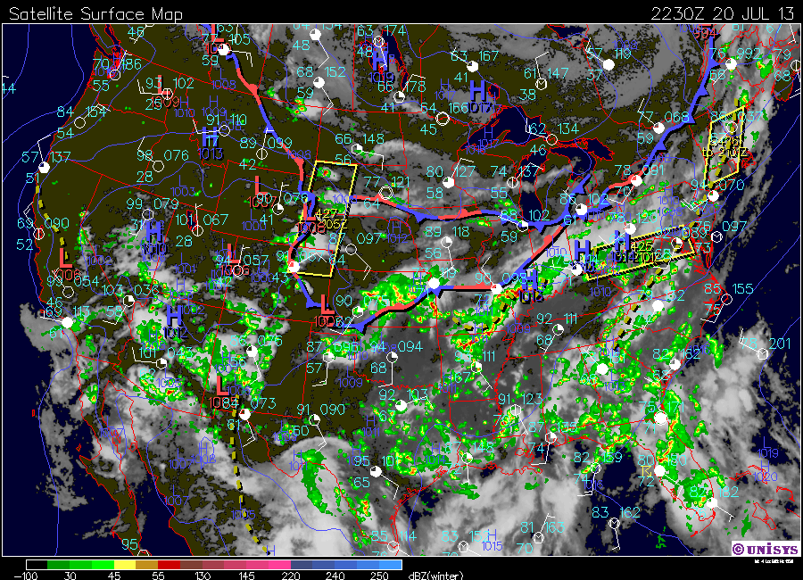
Satellite Surface Map of the Contiguous US at 2230Z today.
Normal high temperatures in the New York area for this time of the season are near 84 F. As this cold front passes, temperatures for Sunday and into the next week will become closer to that seasonal mark. Plenty of fluids should still be consumed regardless to help prevent heat exhaustion if outdoors.
In addition to the front stalling towards our south, US will be stuck in the same general flow all the way until Friday...
In addition to the front stalling towards our south, US will be stuck in the same general flow all the way until Friday...
Shortwaves will continuously flow along the stalled front to the region's south, resulting the chance for scattered showers to pop up throughout the week.
Take care & be well.
- JL
- JL

 RSS Feed
