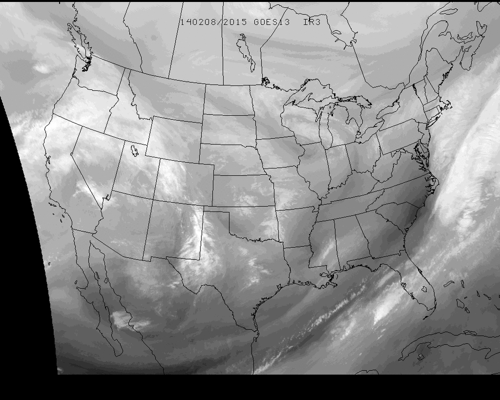
This weekend has been one of the most anticipated weekends weather wise by the public screaming for 30" of snow based off one person posting one model output a while ago. The end result of course is not a storm as we all knew it would be... Well, that is assuming you don't count a possible couple of inches as a storm (Which I know I don't). The nation is littered with cloud cover so we shall take a look at the Water Vapor imagery to dissect what's happening on this Saturday and use it glance into the future a bit.
The patch that can be seen near the Chicago area will be the center focus for the northeast region and a bit into the Mid-Atlantic as well. Models still showing a slight disagreement in how this clipper develops as it moves east but the general outlook appears to be a 1"-2" range for snow through Sunday night and into the early AM hours of Monday when it shifts offshore....
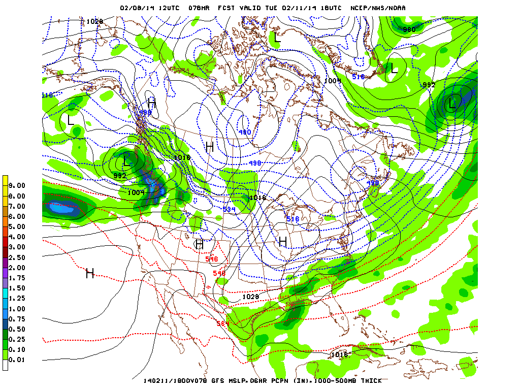
The next point of interest is the Southeast early next week. Many models are showing the POTENTIAL for an event. Here's one example of the GFS for Tuesday afternoon...
The next point of interest is the Southeast early next week. Many models are showing the POTENTIAL for an event. Here's one example of the GFS for Tuesday afternoon...
It should be noted that 72 hours out, model variance can still be quite high for a system moving across the Gulf/Atlantic coast such as this one and that the spread of POTENTIAL precipitation types cannot be determined at this point with any real confidence. What's to be noted is the energy is there for a storm to happen and will likely be the highlight of many forecast discussions in the region into early next week as the rest of the country will be for the most part rather quiet at that time.
Have a great finish to your weekend as we enter Valentine's Day week!
~ JL
~ JL


 RSS Feed
