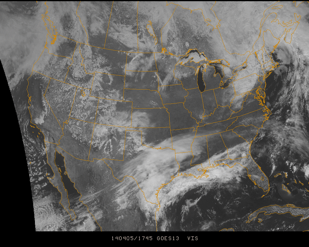
Visible satellite 1745 UTC
A generally calm day across the country with broad high pressure in place in the Midwest. Weak energy in the Northeast is moving out clearing the skies into tonight and Sunday.
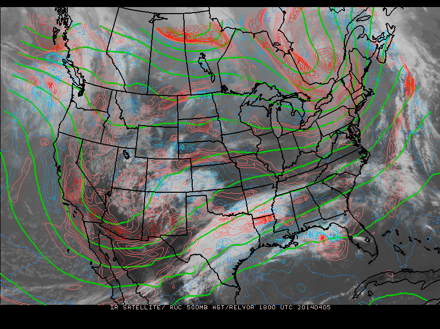
The 500 mb image above shows a deep trough in the west and the accompanying cloud cover building on the leading edges of it into Texas. The surface low will develop into Sunday night along the Gulf coast and move northeast toward Pennsylvania. Temperatures won't be greatly affected by this, generally expected to be in the 50's for much of the Northeast. There will be plenty of moisture resulting in another very wet storm, likely bringing over an inch of rainfall in areas leading in the storm's path.
Following this low pressure system, the country enters a general zonal flow into the weekend before the next wave off of the Pacific Ocean moves across the country.
- JL
Following this low pressure system, the country enters a general zonal flow into the weekend before the next wave off of the Pacific Ocean moves across the country.
- JL

 RSS Feed
