
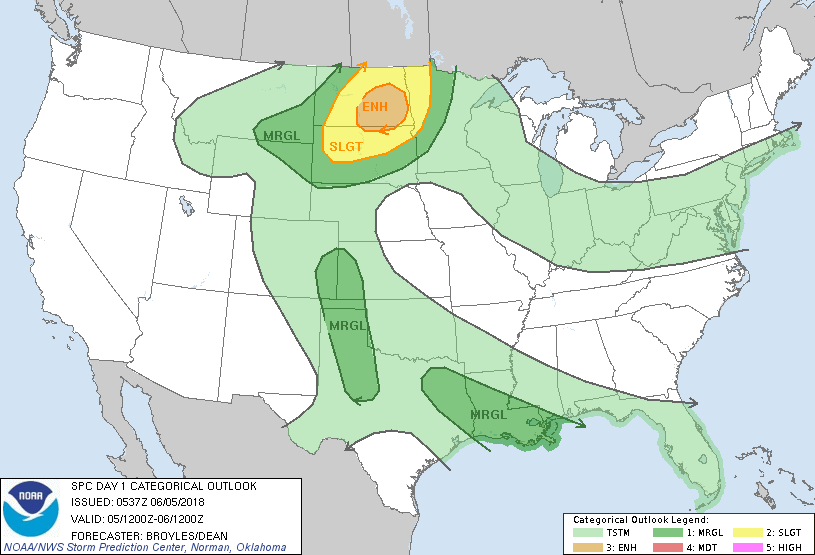
Satellite + radar shows a cold front moving rapidly down across the Great Lakes. It will produce showers and thunderstorms in The Northeast late today followed by another cool air mass. More thunderstorm in Northern Plains could reach the East by the weekend. Sizzling weather continues in the Southern Plains. Below - today's risk of severe weather in dark green - yellow and tan.
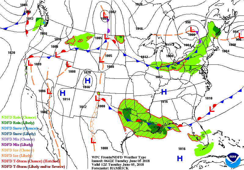
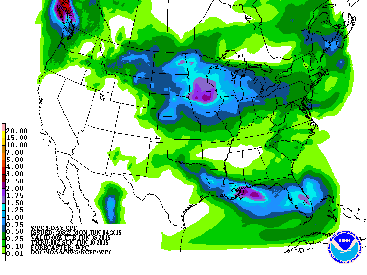
Below - animated maps for the next 2 days.....followed by rainfall projections into this weekend.
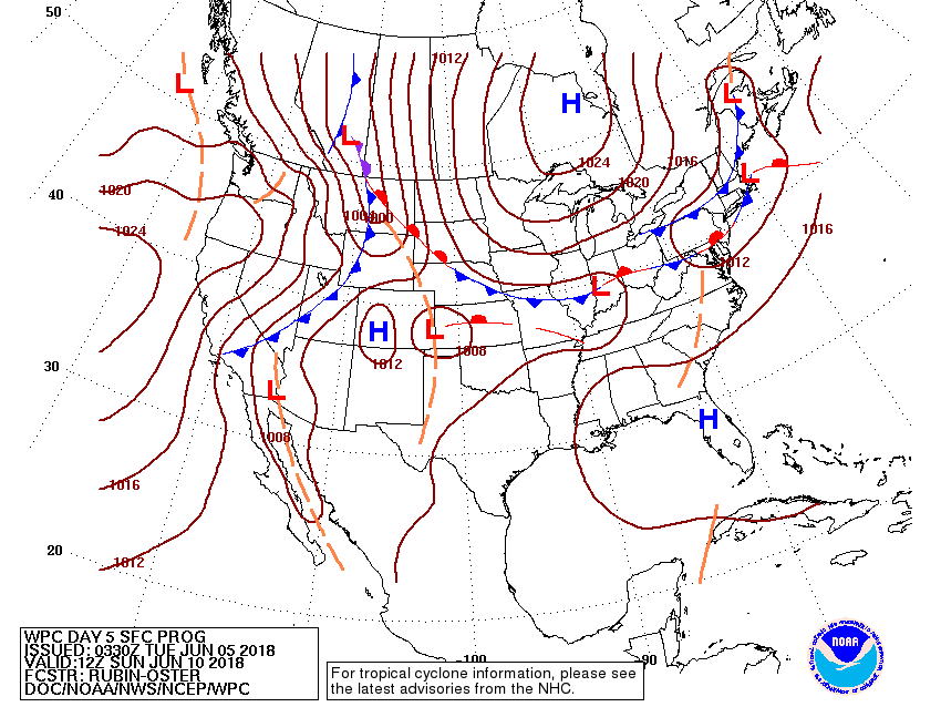
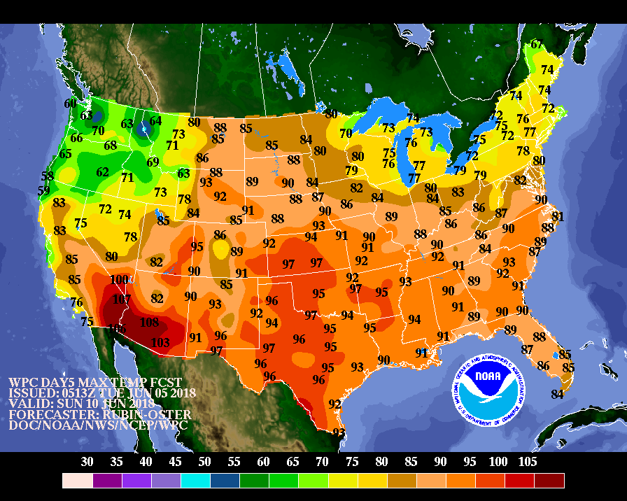
Below - expected weather map for Sunday.....showing more wet weather in the Northeast.......followed by expected temperatures for this Sunday. Notice the unseasonably cool air across the North. This could be a sign of the summer to come. Be safe.

 RSS Feed
