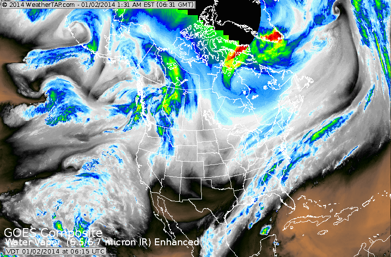
The weather pattern for the next week or two over much of the Nation will be nothing short of brutal. Changes will be dramatic. Winter storm hitting the East will be followed by arctic cold and wind. Another storm will hit Ohio Valley and Great Lakes Sunday..and even colder air will follow into The East early next week. Below...satellite picture showing the 2 streams of moisture that will converge on Northeast and bring anywhere from 6" to 18" snow.
Below ...you will see how the Canadian model handles this storm..blue...representing the moisture.
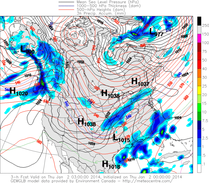
For some reason...above map in not animating...and just don't have time right now to figure it out. Below...is the current map...showing the storm coming out of The Ohio Valley. Temps. behind this storm
in The East Friday night will sink to near zero as far south as the
Mid Atlantic....while 10-to 20 below zero will be common across
Northern NY and New England. The new surge of arctic air that will move into The Upper Midwest this weekend will bring temps
of 30-45 below zero there and that air is headed east....heads up to all in it's path. I will continue to update as needed today. Be safe everyone.

 RSS Feed
