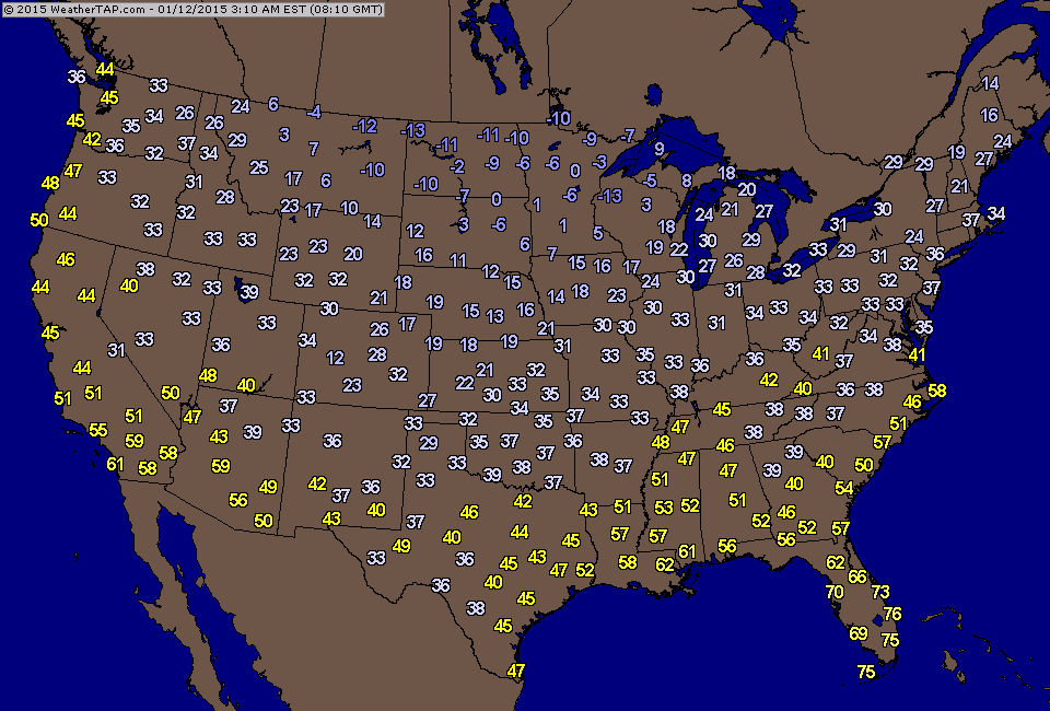
Above...temperatures at 4am e.t. (Click to enlarge). Next arctic air mass in Northern Plains heading east and south.
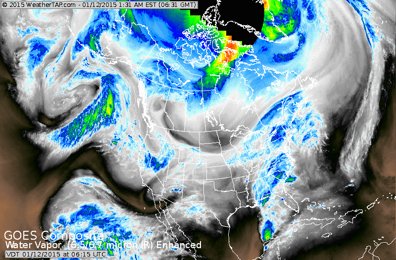
Satellite shows storm in the East....but notice the sharp curved line from Great Lakes to Montana. That is the front representing new arctic air. Moisture in Texas likely staying south...so the storm that the Euro was predicting for this Thursday will stay well to the south and not turn into an east coast storm.
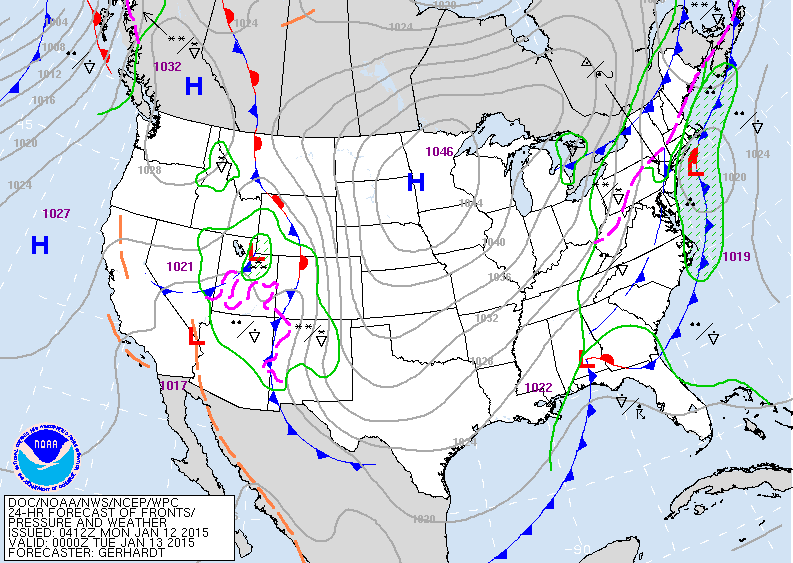
East coast low moves offshore tonight. Low in south will also head off the east coast. High over Minnesota is the arctic air....dry...cold.
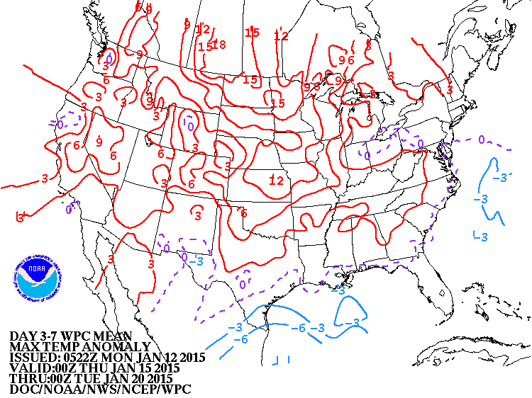
Above...map shows the deviation from nomal for daytime temperatures over the next 7 days. Red is above average...blue below....so guess what ? Most of the nation will average above over the next 7 days. Key word here...
average......because there will be a couple of days in this period where it will be below. Stay safe...later.
average......because there will be a couple of days in this period where it will be below. Stay safe...later.

 RSS Feed
