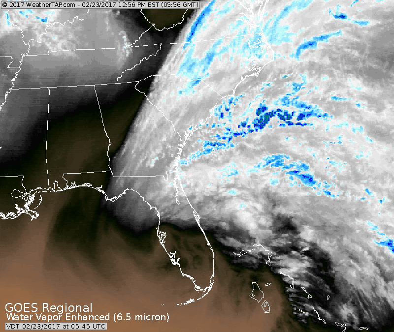
Unusual to see such a storm this far south at this time of year. Centered over central Florida....storm is moving east and will skim Carolinas and then move offshore.
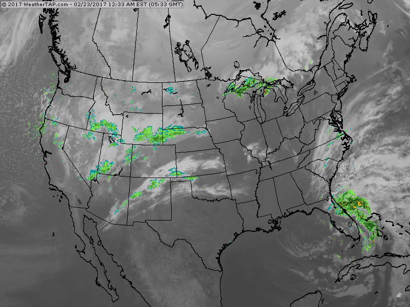
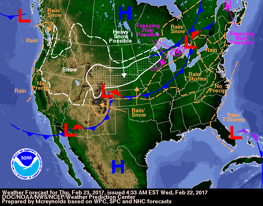
In this shot you can see the rain associated with the Florida low. Another storm pulling out of Rockies will bring snow to Midwest and Great Lakes and move on to The East to bring showers Saturday. Below - weather map today showing the above.
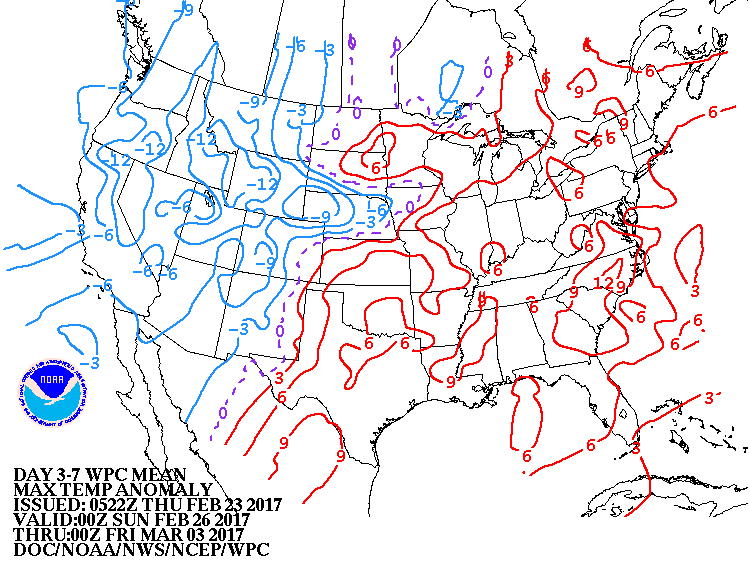
Above - how daytime temperatures will average through March 3. From The Plains to East Coast - warmer than normal..... colder than normal western third.
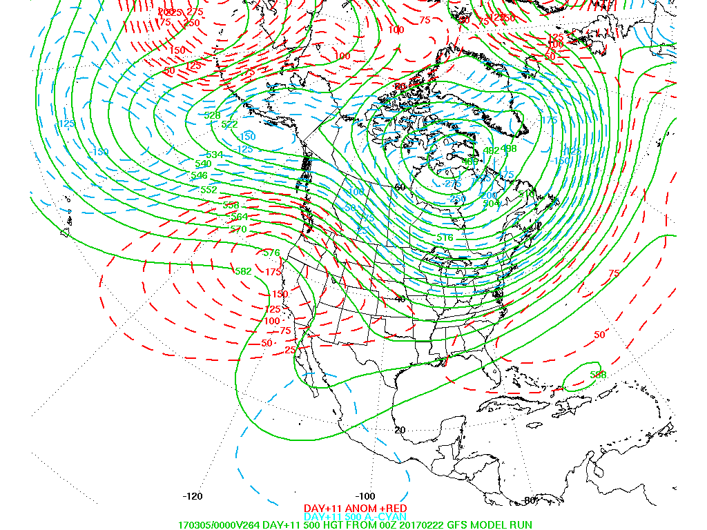
Above - upper air pattern 10-11 days out. Light green lines show the upper air winds. The dotted red lines show how much above the norm the pressure is in that area....while the light blue line show how much below normal they are. This pattern will bring back dry weather to the West Coast - and colder and more frequent bouts of precip to The East. March does not look inviting at this time. Be safe.

 RSS Feed
